Transport Functions
Multimodal
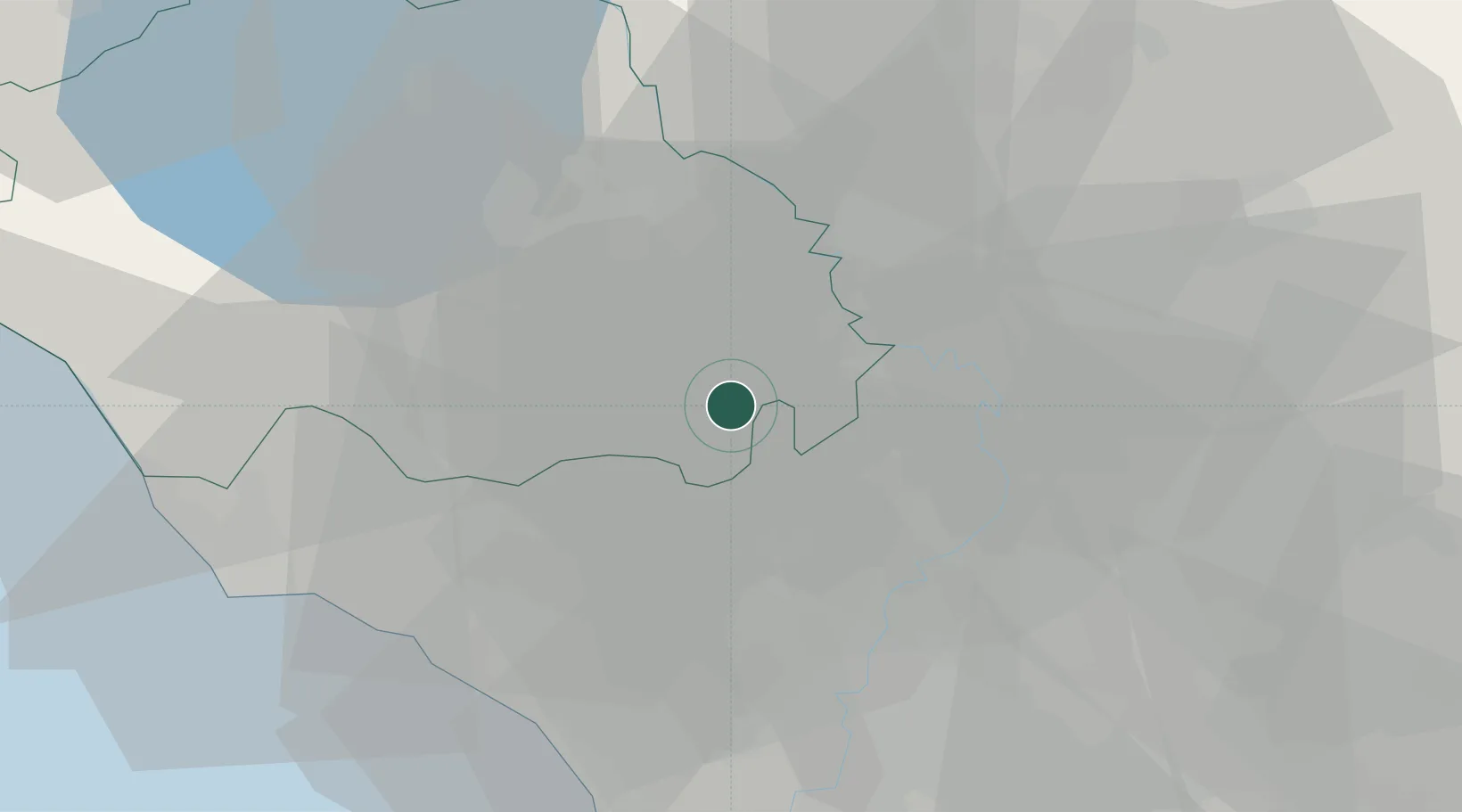
Hub Profile
Place type
District seat
Region
Lazio
Population
6,186
Time zone
Europe/Rome
Elevation
227 m
Location
Nearby Logistics Neighbours
Cities
- 1Castel Sant'Elia2 km
- 2Sutri11 km
- 3Corchiano11 km
- 4Rignano Flaminio12 km
- 5Caprarola13 km
Ports
- 1Civitavecchia50 km
- 2Fiumicino53 km
- 3Anzio - Nettuno91 km
- 4Porto Ercole95 km
- 5Porto Santo Stefano104 km
Airports
Trade Zones
DatabookThe Record of Consolidated Knowledge
Italy beyond logistics?