UN/LOCODE hub · Italy
ITSGP

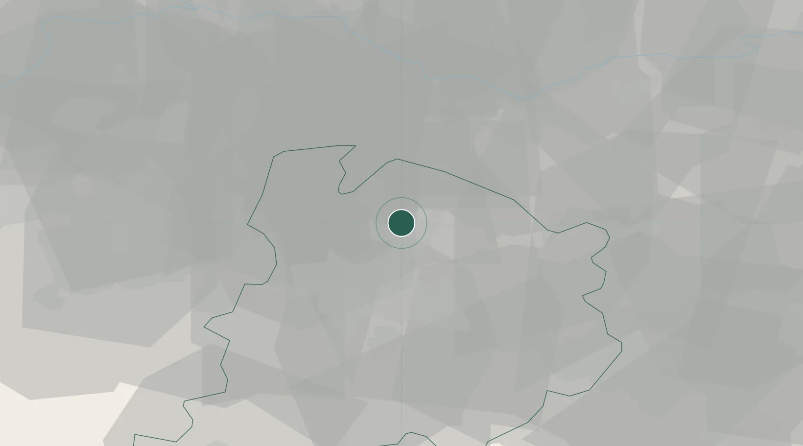
San Giorgio di Piano

44.6500°, 11.3833°
5,850
Population
2
Transport functions

Transport Functions

Rail
Road
UN/LOCODE

Hub Profile

Place type
District seat
GeoNames
Region
Emilia-Romagna
GeoNames
Population
5,850
GeoNames
Time zone
Europe/Rome
GeoNames
Elevation
21 m
GeoNames

Location

Location of ITSGP
Natural Earth 10m (public domain) · Emilia-Romagna · ITSGP · 44.65, 11.38GoogleOSMYandex

Nearby Logistics Neighbours

Cities
  1. 1Bentivoglio3 km
  2. 2Molinella5 km
  3. 3Ca de Fabbri6 km
  4. 4Castello D'Argile8 km
  5. 5San Vincenzo di Galliera10 km
Nearest neighbours — logibook spatial index (haversine) over the source coordinates
Ports
  1. 1Porto Garibaldi69 km
  2. 2Porto Di Corsini74 km
  3. 3Cesenatico95 km
  4. 4Porto Di Chioggia97 km
  5. 5Rimini114 km
Nearest neighbours — logibook spatial index (haversine) over the source coordinates
Airports
  1. 1Bologna Guglielmo Marconi Airport15 km
  2. 2Forlì-Luigi Ridolfi International Airport74 km
  3. 3Cervia Air Base87 km
  4. 4Parma Airport88 km
  5. 5Padova Gino Allegri Airfield91 km
Nearest neighbours — logibook spatial index (haversine) over the source coordinates
Trade Zones
  1. 1Consorzio Zona Industriale e Porto Fluviale di Padova93 km
  2. 2Free Port of Venice113 km
  3. 3Port of Pula Free Zone195 km
  4. 4Free Port of Trieste216 km
  5. 5Livigno Free Trade Zone232 km
Nearest neighbours — logibook spatial index (haversine) over the source coordinates
DatabookThe Record of Consolidated Knowledge
Italy beyond logistics?
Browse databook

All Sources

LocationsUN/LOCODE
UN/LOCODE — free
LocationsGeoNames
CC BY 4.0
Portsthe NGA World Port Index
Public domain (US gov)
AirportsOurAirports
Public domain
Trade Zonesthe World Bank SEZ database
CC BY 4.0
Trade ZonesOpen Zone Map
CC BY
← Italy locations