Transport Functions
Multimodal
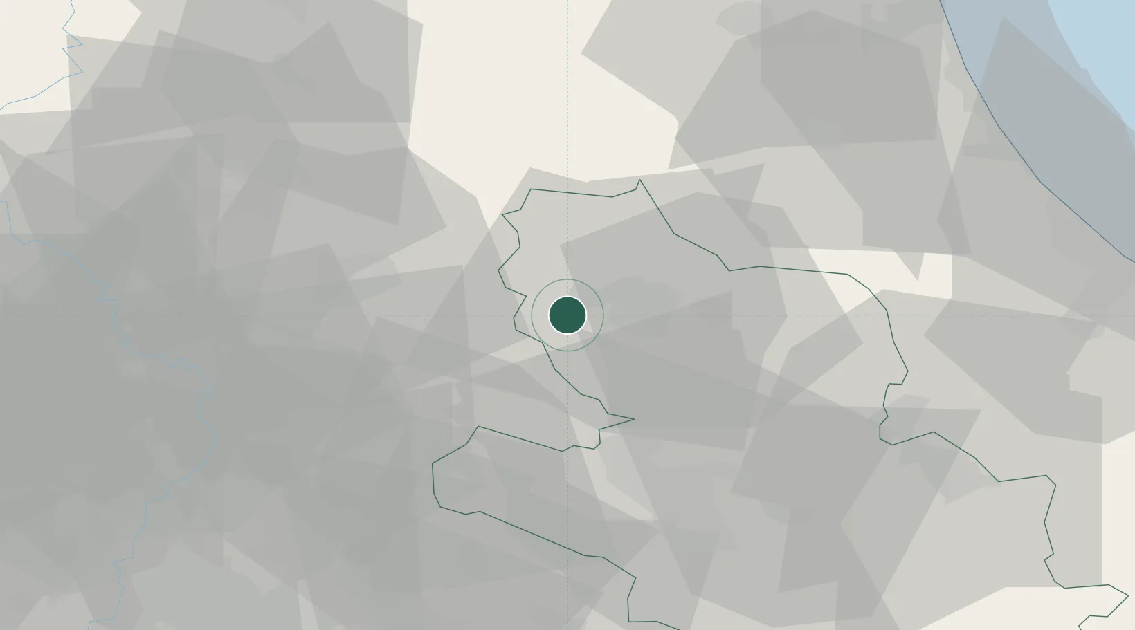
Hub Profile
Place type
District seat
Region
Abruzzo
Population
616
Time zone
Europe/Rome
Elevation
820 m
Location
Nearby Logistics Neighbours
Cities
- 1Coppito7 km
- 2Santa Rufina27 km
- 3Vazia28 km
- 4Castelfranco28 km
- 5Carsoli33 km
Ports
- 1Giulianova74 km
- 2Pescara82 km
- 3San Benedetto Del Tronto84 km
- 4Ortona96 km
- 5Fiumicino108 km
Airports
- 1Guidonia Air Base59 km
- 2Abruzzo Airport77 km
- 3Rome Urbe Airport77 km
- 4Ciampino–G. B. Pastine International Airport83 km
- 5Latina Air Base96 km
DatabookThe Record of Consolidated Knowledge
Italy beyond logistics?