Transport Functions
Multimodal
Hub Profile
Place type
District seat
Region
Apulia
Population
20,692
Time zone
Europe/Rome
Elevation
177 m
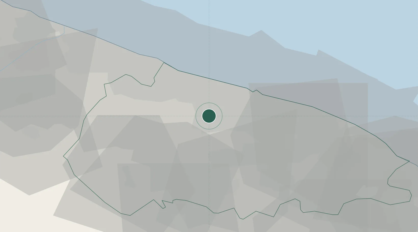
Location
Nearby Logistics Neighbours
Cities
- 1Binetto4 km
- 2Sannicandro di Bari10 km
- 3Bari14 km
- 4Ceglie del Campo14 km
- 5Giovinazzo15 km
Ports
- 1Bari16 km
- 2Molfetta20 km
- 3Bisceglie27 km
- 4Mola Di Bari34 km
- 5Trani35 km
Airports
Trade Zones
DatabookThe Record of Consolidated Knowledge
Italy beyond logistics?