Transport Functions
Multimodal
Hub Profile
Place type
District seat
Region
Aosta Valley
Population
372
Time zone
Europe/Rome
Elevation
670 m
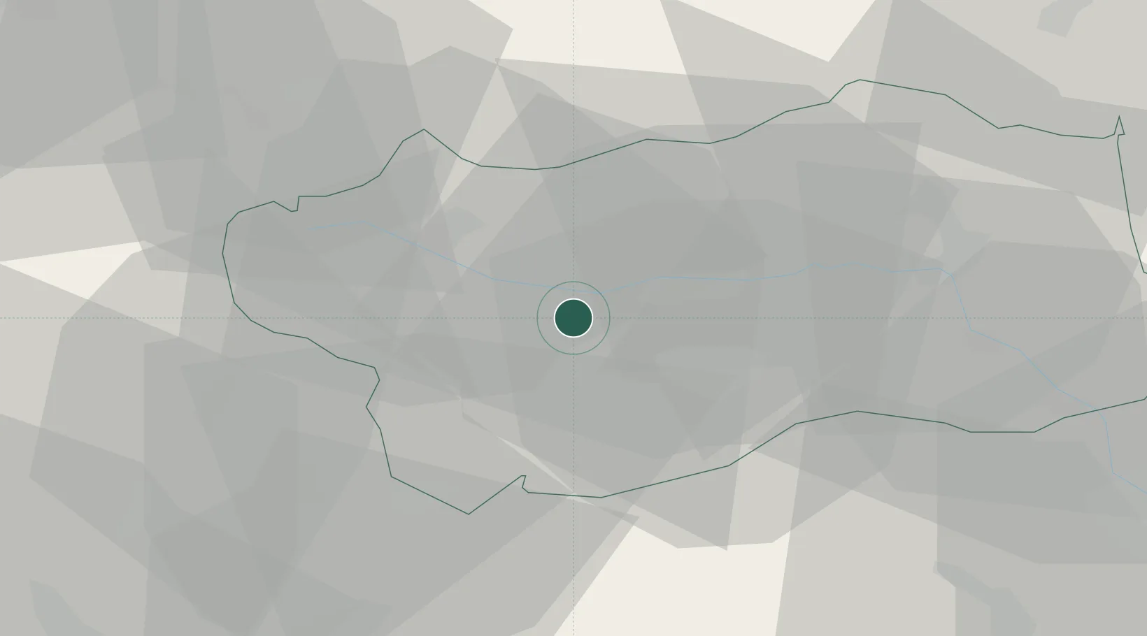
Location
Nearby Logistics Neighbours
Cities
- 1Brissogne16 km
- 2San Marcel20 km
- 3Châtillon33 km
- 4Bourg-Saint-Maurice35 km
- 5Les Houches37 km
Ports
- 1Savona185 km
- 2Rada Di Vado188 km
- 3Genova198 km
- 4Imperia212 km
- 5San Remo214 km
Airports
- 1Aosta Corrado Gex Airport14 km
- 2Sion Airport59 km
- 3Turin Airport66 km
- 4Biella-Cerrione Airfield74 km
- 5Torino-Aeritalia Airport75 km
Trade Zones
DatabookThe Record of Consolidated Knowledge
Italy beyond logistics?