Transport Functions
Rail
Road
Hub Profile
Place type
District seat
Region
Aosta Valley
Population
4,334
Time zone
Europe/Rome
Elevation
549 m
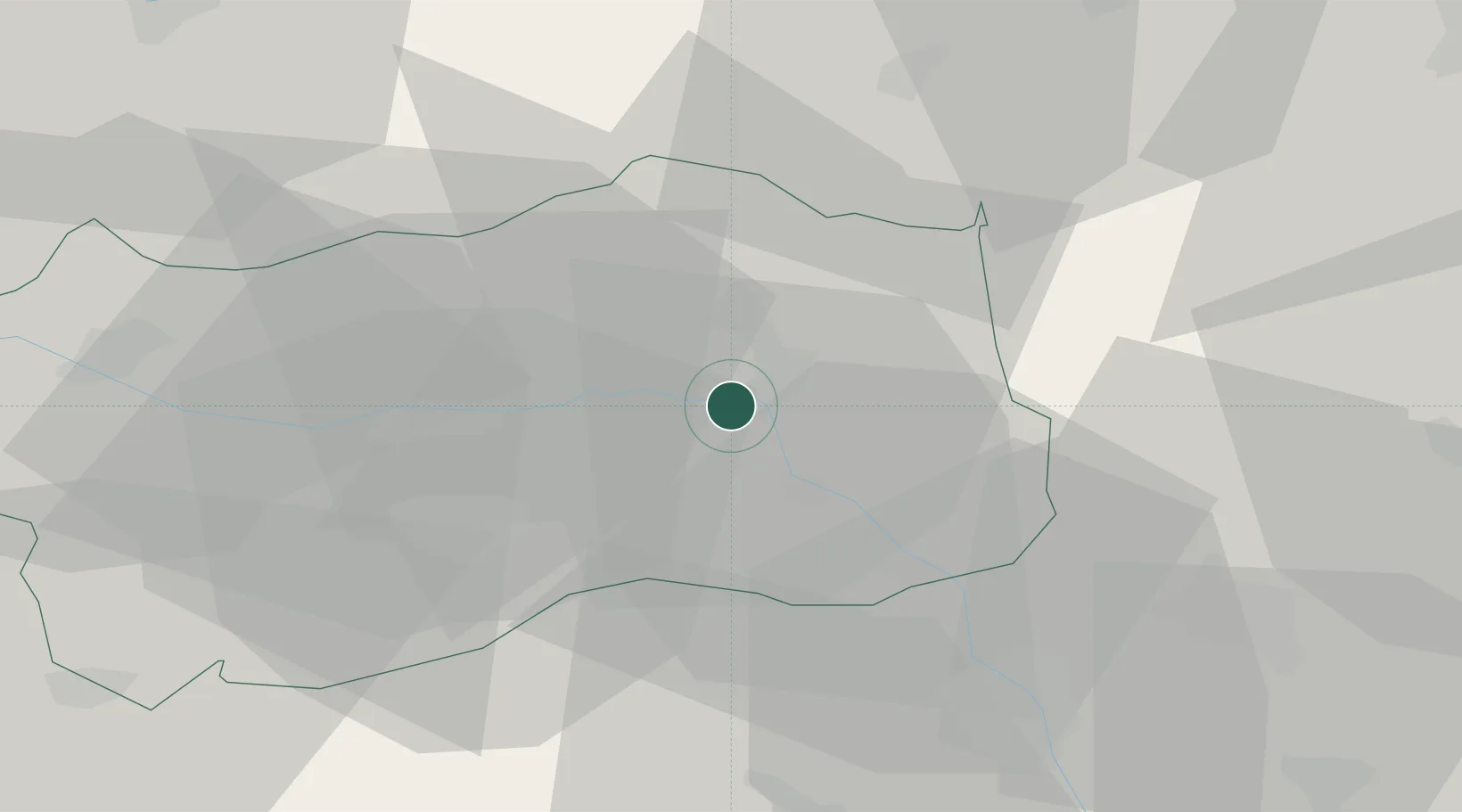
Location
Nearby Logistics Neighbours
Cities
- 1San Marcel13 km
- 2Brissogne17 km
- 3Carema24 km
- 4Villeneuve33 km
- 5Chiaverano36 km
Ports
- 1Savona174 km
- 2Rada Di Vado178 km
- 3Genova182 km
- 4Chiavari - Lavagna209 km
- 5Imperia210 km
Airports
- 1Aosta Corrado Gex Airport19 km
- 2Biella-Cerrione Airfield47 km
- 3Sion Airport57 km
- 4Turin Airport61 km
- 5Torino-Aeritalia Airport74 km
Trade Zones
- 1Aosta Valley63 km
- 2Magazzini Generali Con Chiasso104 km
- 3Port Franc Vevey114 km
- 4Geneva Freeport, La Praille, Geneva125 km
- 5Port Franc de Geneve128 km
DatabookThe Record of Consolidated Knowledge
Italy beyond logistics?