Transport Functions
Rail
Road
Hub Profile
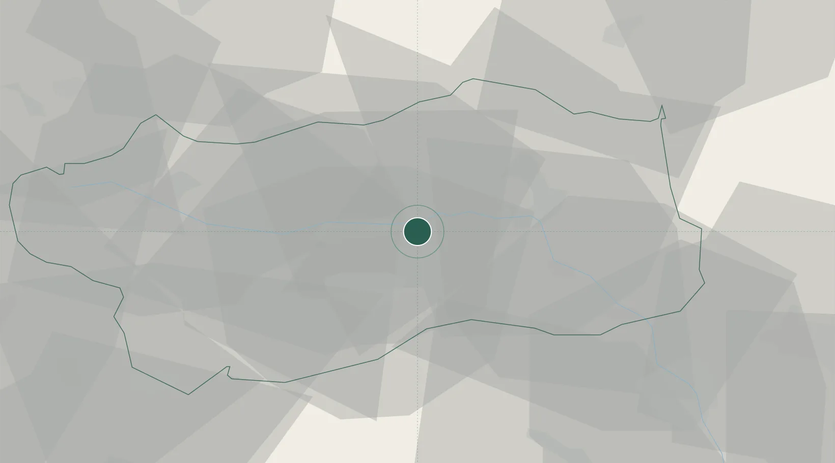
Region
AO
Location
Nearby Logistics Neighbours
Cities
- 1Brissogne4 km
- 2Châtillon13 km
- 3Villeneuve20 km
- 4Carema33 km
- 5Vidracco42 km
Ports
- 1Savona178 km
- 2Rada Di Vado181 km
- 3Genova188 km
- 4Imperia211 km
- 5San Remo215 km
Airports
- 1Aosta Corrado Gex Airport6 km
- 2Sion Airport55 km
- 3Biella-Cerrione Airfield57 km
- 4Turin Airport61 km
- 5Torino-Aeritalia Airport73 km
Trade Zones
- 1Aosta Valley50 km
- 2Port Franc Vevey106 km
- 3Geneva Freeport, La Praille, Geneva114 km
- 4Port Franc de Geneve117 km
- 5Magazzini Generali Con Chiasso117 km
DatabookThe Record of Consolidated Knowledge
Italy beyond logistics?