Transport Functions
Multimodal
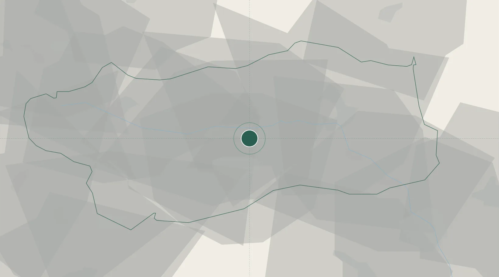
Hub Profile
Region
AO
Location
Nearby Logistics Neighbours
Cities
- 1San Marcel4 km
- 2Villeneuve16 km
- 3Châtillon17 km
- 4Carema36 km
- 5Vidracco43 km
Ports
- 1Savona178 km
- 2Rada Di Vado181 km
- 3Genova189 km
- 4Imperia210 km
- 5San Remo213 km
Airports
- 1Aosta Corrado Gex Airport4 km
- 2Sion Airport56 km
- 3Biella-Cerrione Airfield60 km
- 4Turin Airport61 km
- 5Torino-Aeritalia Airport72 km
Trade Zones
- 1Aosta Valley46 km
- 2Port Franc Vevey105 km
- 3Geneva Freeport, La Praille, Geneva112 km
- 4Port Franc de Geneve114 km
- 5Geneva Cointrin International Airport Free Port116 km
DatabookThe Record of Consolidated Knowledge
Italy beyond logistics?