Transport Functions
Rail
Road
Airport
Multimodal
Postal
Hub Profile
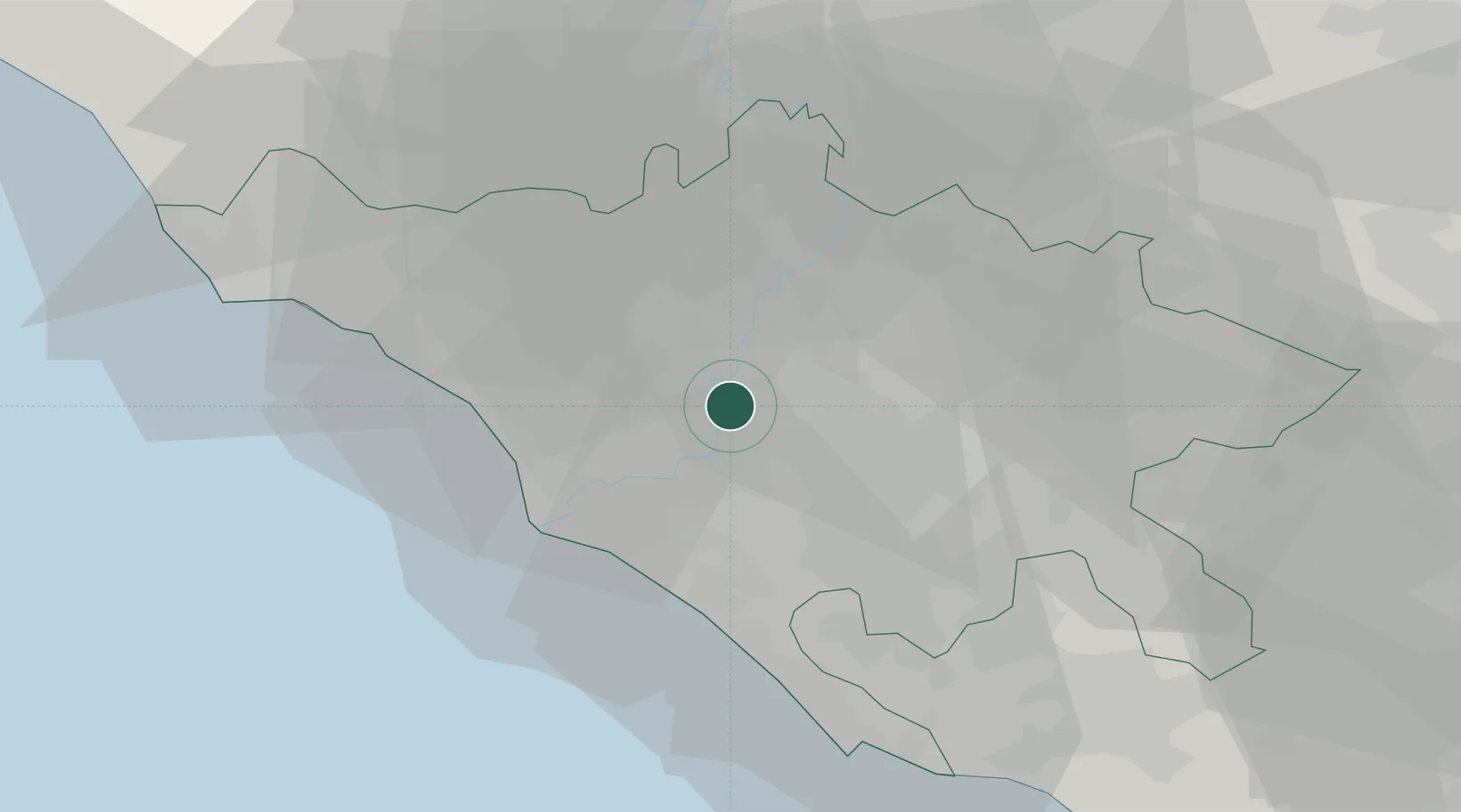
Region
RM
Location
Nearby Logistics Neighbours
Cities
- 1Torrenova12 km
- 2Ponte Galeria14 km
- 3Acilia16 km
- 4Monte Porzio Catone21 km
- 5Riano22 km
Ports
- 1Fiumicino27 km
- 2Anzio - Nettuno52 km
- 3Civitavecchia63 km
- 4San Felice Circeo91 km
- 5Terracina94 km
Airports
DatabookThe Record of Consolidated Knowledge
Italy beyond logistics?