Transport Functions
Rail
Road
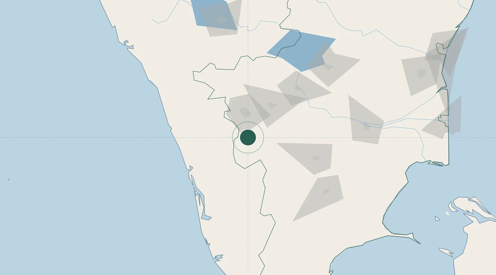
Hub Profile
Place type
Populated place
Region
Tamil Nadu
Population
90,180
Time zone
Asia/Kolkata
Elevation
294 m
Location
Nearby Logistics Neighbours
Cities
- 1Singanallur37 km
- 2SE&C LTD-SEZ/Coimbatore38 km
- 3TDPL SEZ/Coimbatore38 km
- 4ECTN SEZ/Coimbatore38 km
- 5SVPL SEZ/Coimbatore38 km
Ports
- 1Kochi (Cochin)116 km
- 2Beypore144 km
- 3Calicut (Kozhikode)151 km
- 4Quilon (Kollam)205 km
- 5Azhikal (Azhikkal)234 km
Airports
- 1Coimbatore International Airport41 km
- 2Cochin International Airport88 km
- 3Calicut International Airport127 km
- 4Madurai Airport150 km
- 5Salem Airport169 km
Trade Zones
DatabookThe Record of Consolidated Knowledge
India beyond logistics?