Transport Functions
Rail
Road
Hub Profile
Place type
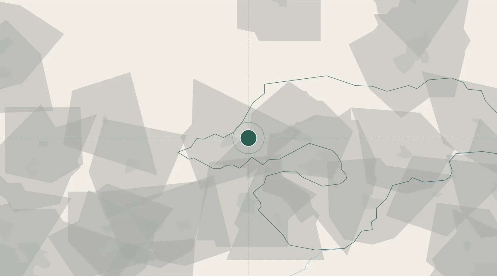
Populated place
Region
Borsod-Abaúj-Zemplén
Time zone
Europe/Budapest
Elevation
302 m
Location
Nearby Logistics Neighbours
Cities
- 1Kazincbarcika19 km
- 2Fuezesabony20 km
- 3Izsofalva21 km
- 4Sajószentpéter24 km
- 5Gemerská Horka32 km
Ports
- 1Bakar554 km
- 2Senj555 km
- 3Rijeka Luka558 km
- 4Omisalj559 km
- 5Zaliv Rasa600 km
Airports
Trade Zones
DatabookThe Record of Consolidated Knowledge
Hungary beyond logistics?