Transport Functions
Multimodal
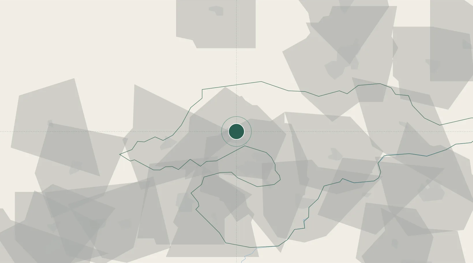
Hub Profile
Place type
Populated place
Region
Borsod-Abaúj-Zemplén
Population
1,871
Time zone
Europe/Budapest
Elevation
187 m
Location
Nearby Logistics Neighbours
Cities
- 1Fuezesabony6 km
- 2Kazincbarcika6 km
- 3Sajószentpéter10 km
- 4Perkupa19 km
- 5Királd21 km
Ports
- 1Bakar574 km
- 2Senj574 km
- 3Rijeka Luka578 km
- 4Omisalj578 km
- 5Zaliv Rasa619 km
Airports
- 1Košice International Airport59 km
- 2Poprad-Tatry Airport91 km
- 3Debrecen International Airport115 km
- 4Sliač Airport119 km
- 5Uzhhorod International Airport123 km
Trade Zones
DatabookThe Record of Consolidated Knowledge
Hungary beyond logistics?