Transport Functions
Rail
Road
Hub Profile
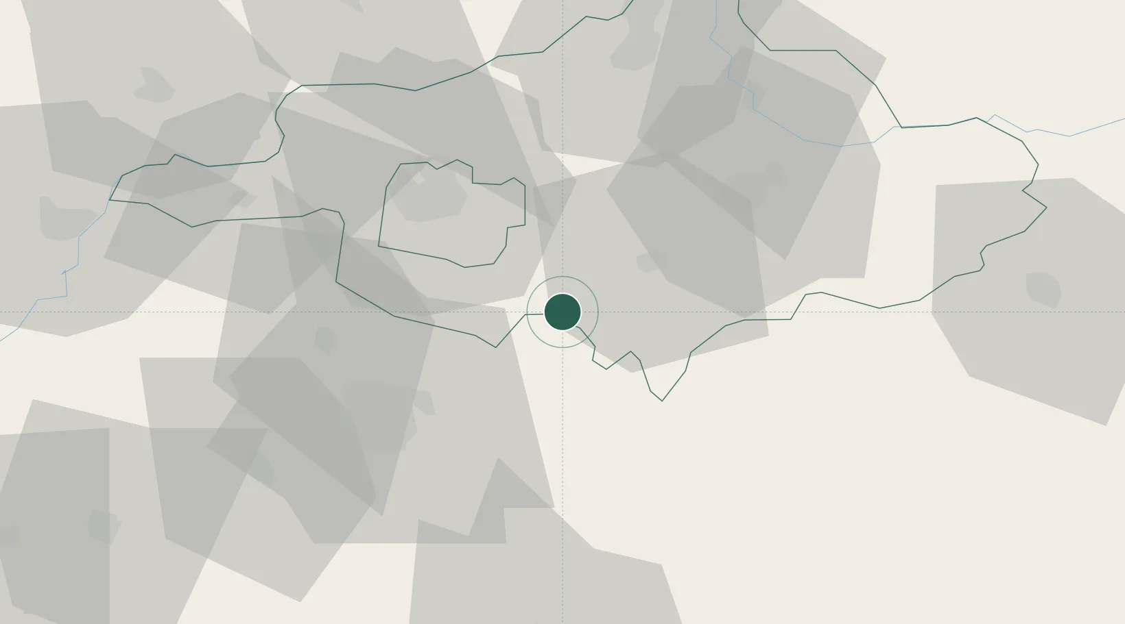
Place type
Populated place
Region
Szabolcs-Szatmár-Bereg
Time zone
Europe/Budapest
Elevation
152 m
Location
Nearby Logistics Neighbours
DatabookThe Record of Consolidated Knowledge
Hungary beyond logistics?