Transport Functions
Rail
Road
Hub Profile
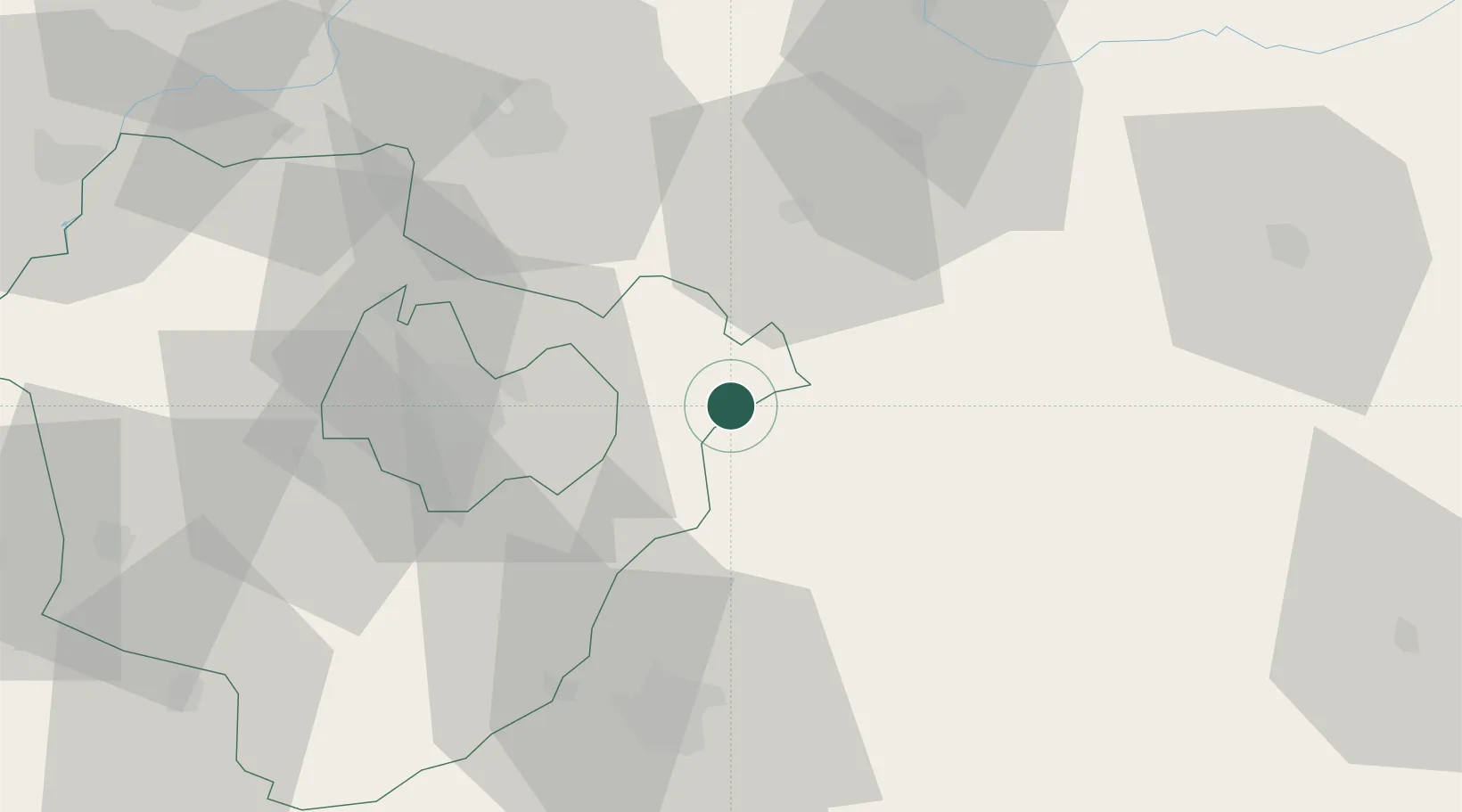
Place type
Populated place
Region
Hajdú-Bihar
Population
3,940
Time zone
Europe/Budapest
Elevation
136 m
Location
Nearby Logistics Neighbours
Airports
Trade Zones
- 1Customs Free Zone Zahony95 km
- 2Transcarpathian Special Economic Zone (Zakarpattia)121 km
- 3Free Zone Curtici Arad145 km
- 4VGP Park Arad164 km
- 5VGP Park Timisoara206 km
DatabookThe Record of Consolidated Knowledge
Hungary beyond logistics?