UN/LOCODE hub · Slovenia
SIGSH

Gemerská Horka

48.5333°, 20.3833°
3
Transport functions

Transport Functions

Rail
Road
Multimodal
UN/LOCODE

Location

Location of SIGSH
Natural Earth 10m (public domain) · Košický · SIGSH · 48.53, 20.38GoogleOSMYandex

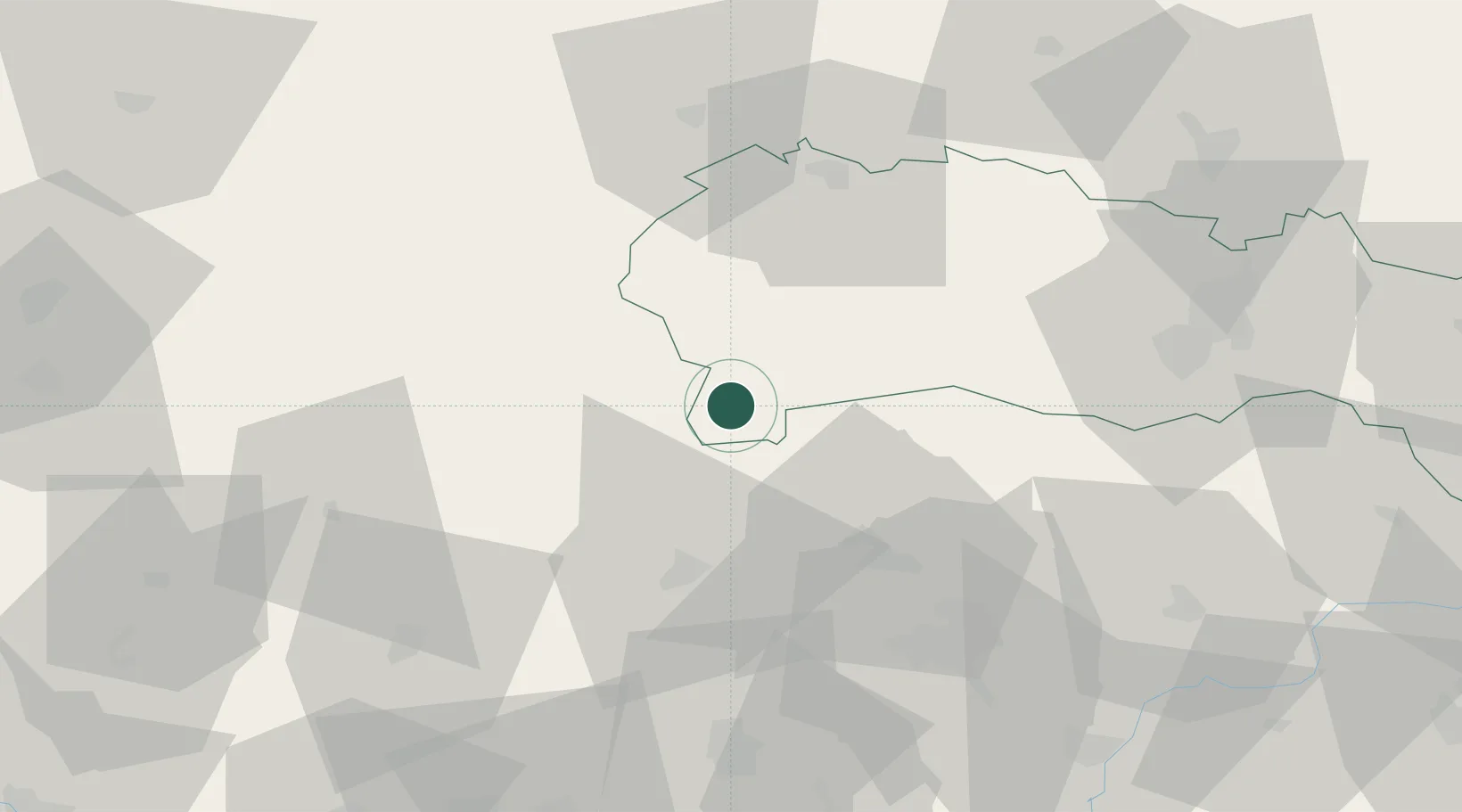
Nearby Logistics Neighbours

Cities
  1. 1Plesivec2 km
  2. 2Jelsava16 km
  3. 3Lubeník20 km
  4. 4Perkupa25 km
  5. 5Tornanádaska30 km
Nearest neighbours — logibook spatial index (haversine) over the source coordinates
Ports
  1. 1Bakar571 km
  2. 2Senj574 km
  3. 3Rijeka Luka575 km
  4. 4Omisalj576 km
  5. 5Zaliv Rasa617 km
Nearest neighbours — logibook spatial index (haversine) over the source coordinates
Airports
  1. 1Poprad-Tatry Airport61 km
  2. 2Košice International Airport65 km
  3. 3Sliač Airport93 km
  4. 4Uzhhorod International Airport139 km
  5. 5Debrecen International Airport148 km
Nearest neighbours — logibook spatial index (haversine) over the source coordinates
Trade Zones
  1. 1Göd Special Economic Zone131 km
  2. 2Customs Free Zone Zahony132 km
  3. 3Transcarpathian Special Economic Zone (Zakarpattia)140 km
  4. 4Kraków Technology Park169 km
  5. 5Karvinská Specialized Economic Zone201 km
Nearest neighbours — logibook spatial index (haversine) over the source coordinates
DatabookThe Record of Consolidated Knowledge
Slovenia beyond logistics?
Browse databook

All Sources

LocationsUN/LOCODE
UN/LOCODE — free
Portsthe NGA World Port Index
Public domain (US gov)
AirportsOurAirports
Public domain
Trade Zonesthe World Bank SEZ database
CC BY 4.0
Trade ZonesOpen Zone Map
CC BY
← Slovenia locations