Transport Functions
Port
Hub Profile
Place type
Populated place
Region
Primorje-Gorski Kotar
Population
418
Time zone
Europe/Zagreb
Elevation
27 m
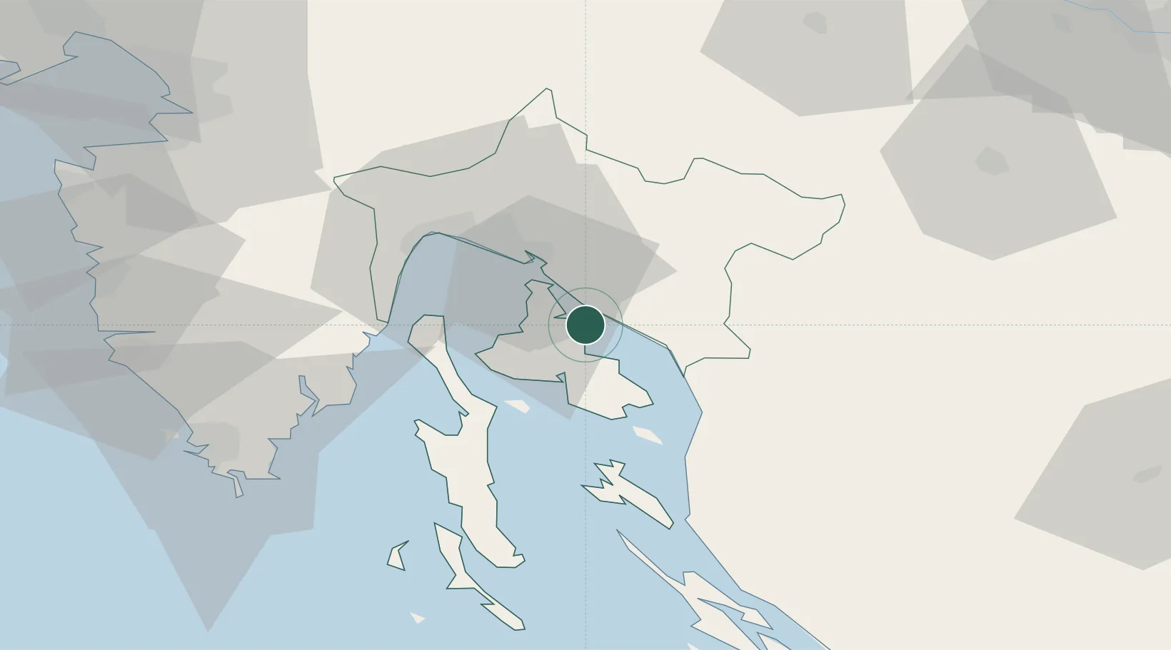
Location
Nearby Logistics Neighbours
Cities
- 1Klimno3 km
- 2Selce4 km
- 3Crikvenica5 km
- 4Vrbnik8 km
- 5Belgrad9 km
Ports
- 1Omisalj12 km
- 2Bakar20 km
- 3Senj26 km
- 4Rijeka Luka27 km
- 5Zaliv Rasa48 km
Airports
- 1Rijeka Airport11 km
- 2Pula Airport65 km
- 3Portorož Airport90 km
- 4Cerklje ob Krki Air Base107 km
- 5Udbina Airfield109 km
Trade Zones
- 1Free Zone Kukuljanovo24 km
- 2Port of Rijeka Free Zone32 km
- 3Port of Pula Free Zone73 km
- 4Free Port of Trieste90 km
- 5PJ Free Zone Zagreb119 km
DatabookThe Record of Consolidated Knowledge
Croatia beyond logistics?