Transport Functions
Port
Road
Hub Profile
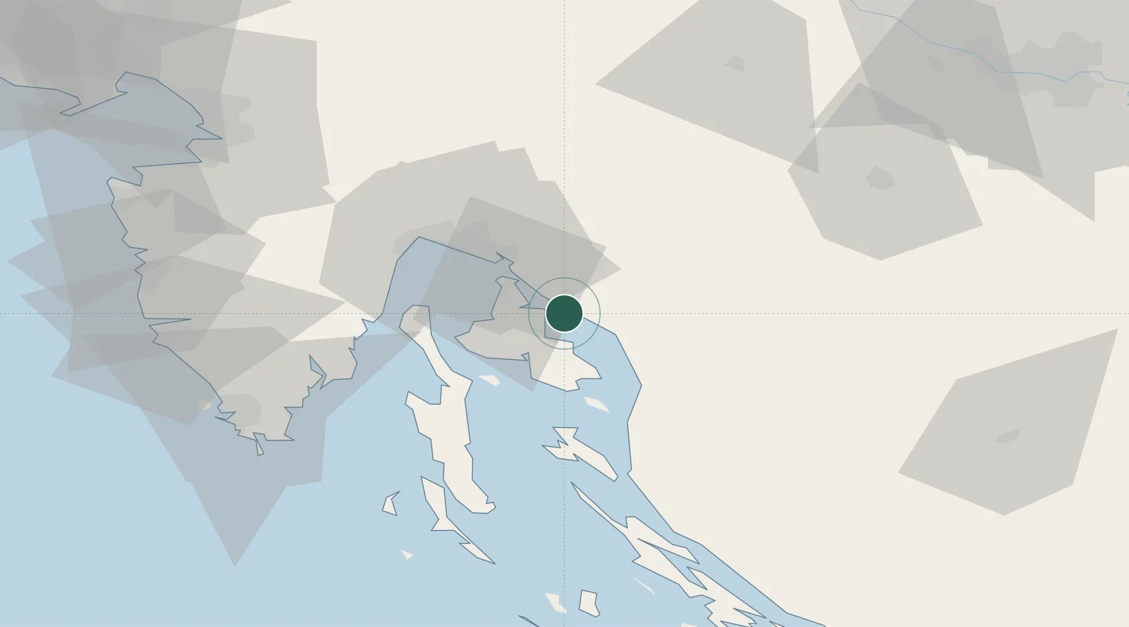
Place type
Populated place
Region
Primorje-Gorski Kotar
Population
1,298
Time zone
Europe/Zagreb
Elevation
12 m
Location
Nearby Logistics Neighbours
Cities
- 1Silo4 km
- 2Crikvenica4 km
- 3Novi Vinodolski6 km
- 4Klimno7 km
- 5Belgrad8 km
Ports
- 1Omisalj15 km
- 2Bakar22 km
- 3Senj24 km
- 4Rijeka Luka30 km
- 5Zaliv Rasa52 km
Airports
- 1Rijeka Airport14 km
- 2Pula Airport69 km
- 3Portorož Airport93 km
- 4Cerklje ob Krki Air Base105 km
- 5Udbina Airfield106 km
Trade Zones
- 1Free Zone Kukuljanovo26 km
- 2Port of Rijeka Free Zone36 km
- 3Port of Pula Free Zone76 km
- 4Free Port of Trieste93 km
- 5PJ Free Zone Zagreb116 km
DatabookThe Record of Consolidated Knowledge
Croatia beyond logistics?