Transport Functions
Port
Road
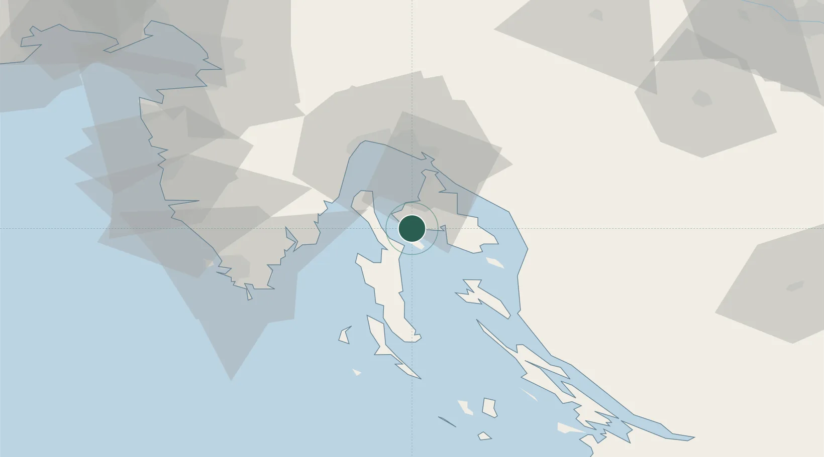
Location
Nearby Logistics Neighbours
Ports
- 1Omisalj21 km
- 2Bakar30 km
- 3Senj32 km
- 4Rijeka Luka34 km
- 5Zaliv Rasa34 km
Airports
- 1Rijeka Airport21 km
- 2Pula Airport48 km
- 3Portorož Airport85 km
- 4Udbina Airfield114 km
- 5Trieste Airport119 km
Trade Zones
- 1Port of Rijeka Free Zone26 km
- 2Free Zone Kukuljanovo34 km
- 3Port of Pula Free Zone56 km
- 4Free Port of Trieste90 km
- 5PJ Free Zone Zagreb137 km
DatabookThe Record of Consolidated Knowledge
Croatia beyond logistics?