Transport Functions
Port
Road
Hub Profile
Place type
Populated place
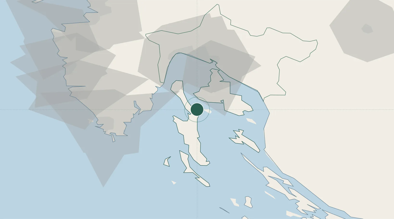
Region
Primorje-Gorski Kotar
Population
22
Time zone
Europe/Zagreb
Elevation
25 m
Location
Nearby Logistics Neighbours
Ports
- 1Omisalj27 km
- 2Zaliv Rasa31 km
- 3Senj35 km
- 4Bakar36 km
- 5Rijeka Luka39 km
Airports
- 1Rijeka Airport28 km
- 2Pula Airport43 km
- 3Portorož Airport85 km
- 4Udbina Airfield115 km
- 5Trieste Airport121 km
Trade Zones
- 1Port of Rijeka Free Zone28 km
- 2Free Zone Kukuljanovo40 km
- 3Port of Pula Free Zone50 km
- 4Free Port of Trieste92 km
- 5PJ Free Zone Zagreb144 km
DatabookThe Record of Consolidated Knowledge
Croatia beyond logistics?