Transport Functions
Port
Road
Hub Profile
Place type
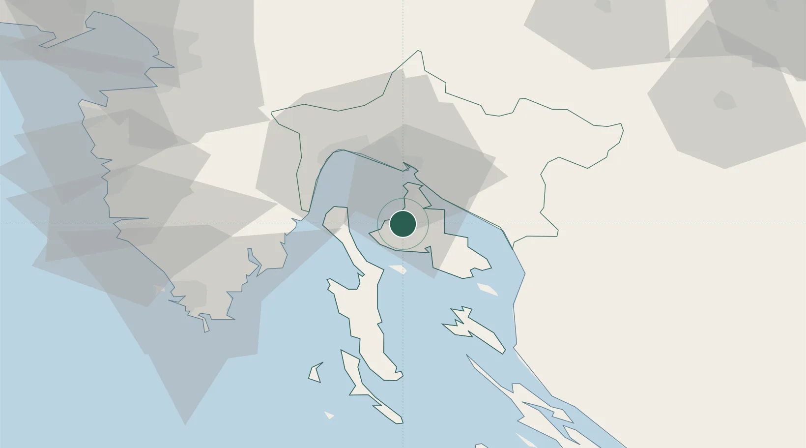
Provincial seat
Region
Primorje-Gorski Kotar
Population
816
Time zone
Europe/Zagreb
Elevation
1 m
Location
Nearby Logistics Neighbours
Ports
- 1Omisalj11 km
- 2Bakar20 km
- 3Rijeka Luka25 km
- 4Senj32 km
- 5Zaliv Rasa37 km
Airports
- 1Rijeka Airport12 km
- 2Pula Airport54 km
- 3Portorož Airport82 km
- 4Trieste Airport114 km
- 5Udbina Airfield116 km
Trade Zones
- 1Port of Rijeka Free Zone23 km
- 2Free Zone Kukuljanovo24 km
- 3Port of Pula Free Zone62 km
- 4Free Port of Trieste85 km
- 5PJ Free Zone Zagreb129 km
DatabookThe Record of Consolidated Knowledge
Croatia beyond logistics?