Transport Functions
Port
Road
Hub Profile
Place type
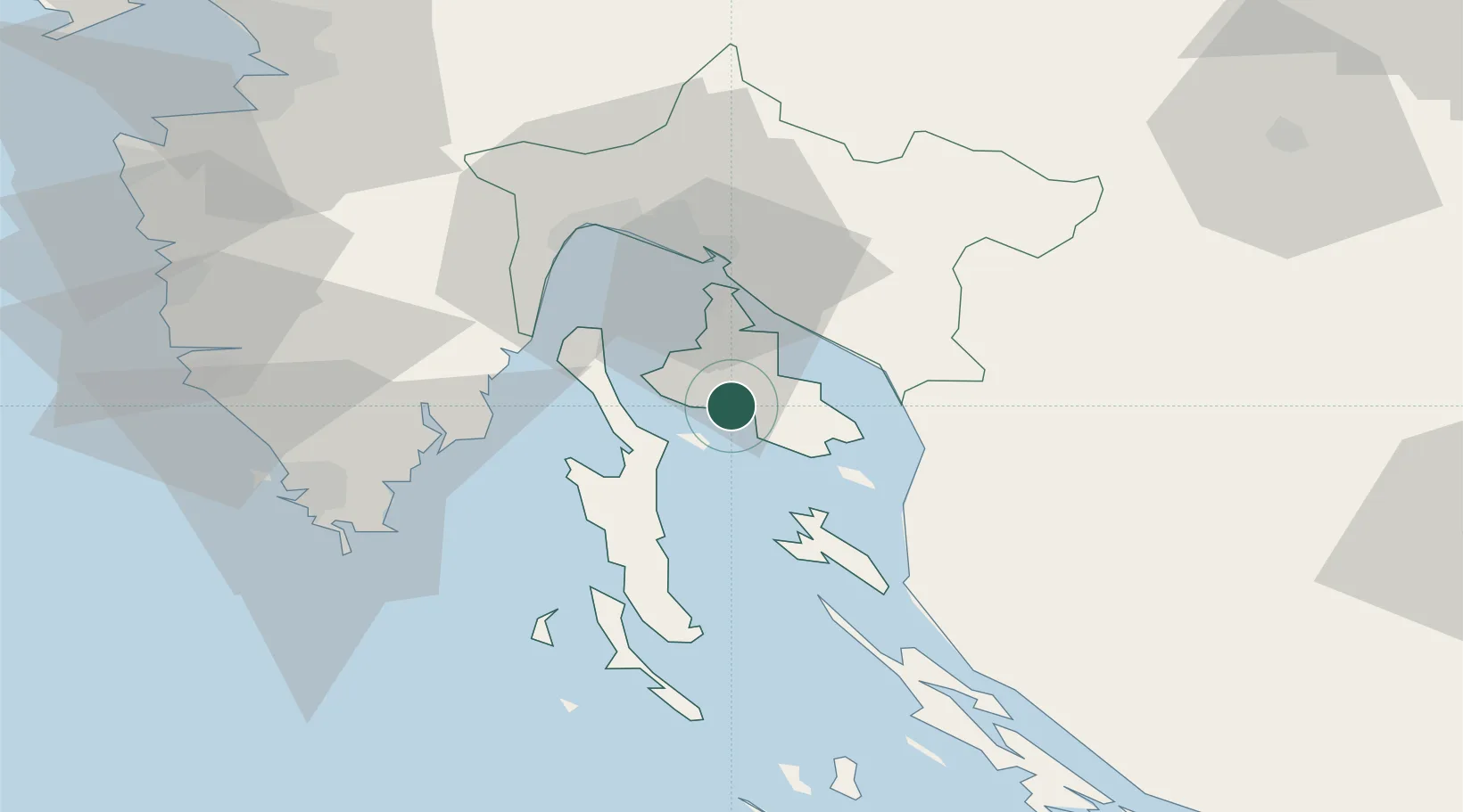
Provincial seat
Region
Primorje-Gorski Kotar
Population
3,935
Time zone
Europe/Zagreb
Elevation
21 m
Location
Nearby Logistics Neighbours
Ports
- 1Omisalj21 km
- 2Senj26 km
- 3Bakar30 km
- 4Rijeka Luka35 km
- 5Zaliv Rasa41 km
Airports
- 1Rijeka Airport20 km
- 2Pula Airport54 km
- 3Portorož Airport90 km
- 4Udbina Airfield108 km
- 5Zadar Airport121 km
Trade Zones
- 1Port of Rijeka Free Zone31 km
- 2Free Zone Kukuljanovo34 km
- 3Port of Pula Free Zone62 km
- 4Free Port of Trieste94 km
- 5PJ Free Zone Zagreb132 km
DatabookThe Record of Consolidated Knowledge
Croatia beyond logistics?