Transport Functions
Port
Road
Hub Profile
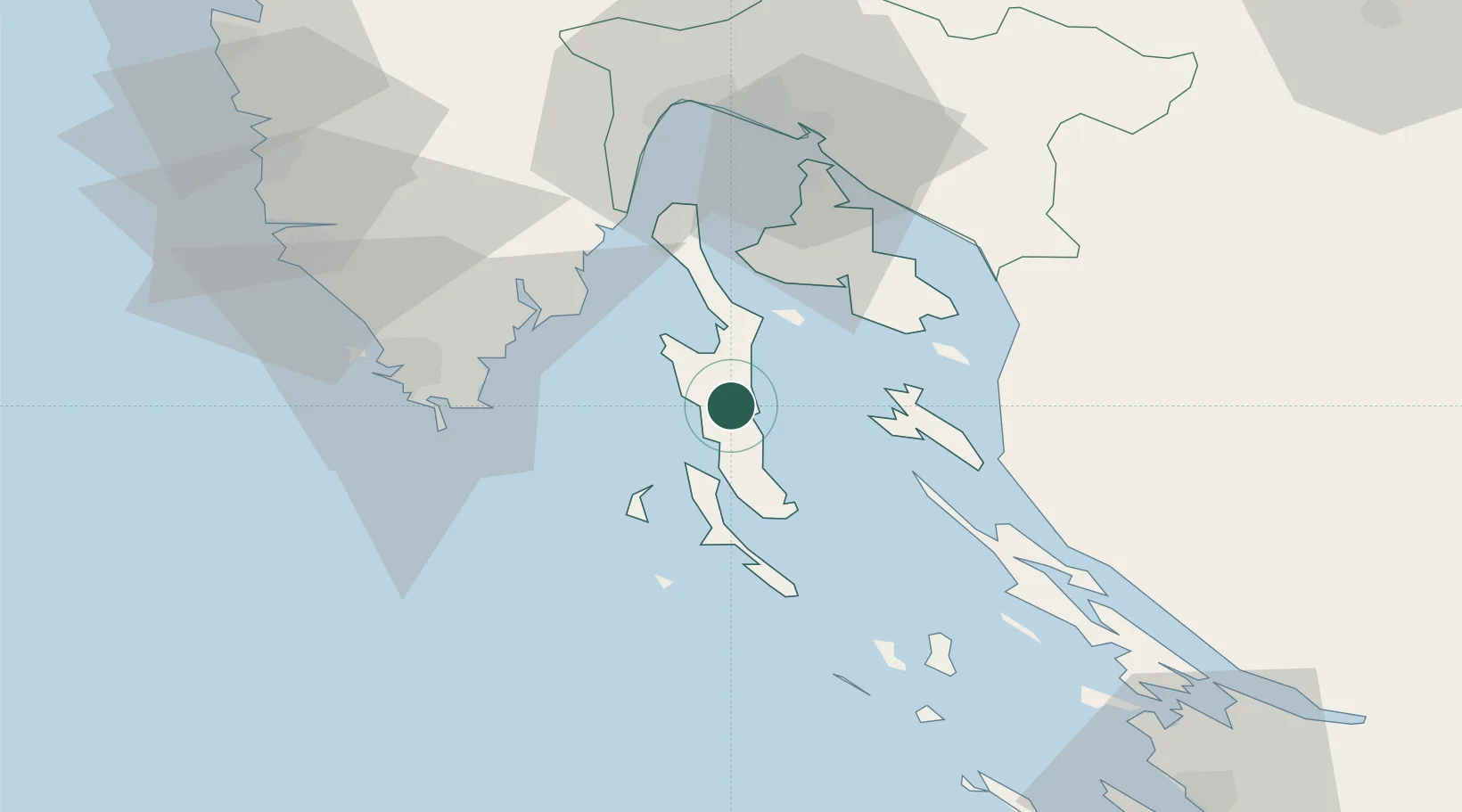
Place type
Populated place
Region
Primorje-Gorski Kotar
Population
103
Time zone
Europe/Zagreb
Elevation
24 m
Location
Nearby Logistics Neighbours
Ports
- 1Zaliv Rasa38 km
- 2Senj42 km
- 3Omisalj46 km
- 4Pula49 km
- 5Bakar55 km
Airports
- 1Pula Airport40 km
- 2Rijeka Airport46 km
- 3Portorož Airport96 km
- 4Zadar Airport109 km
- 5Udbina Airfield111 km
Trade Zones
- 1Port of Rijeka Free Zone44 km
- 2Port of Pula Free Zone46 km
- 3Free Zone Kukuljanovo58 km
- 4Free Port of Trieste106 km
- 5PJ Free Zone Zagreb158 km
DatabookThe Record of Consolidated Knowledge
Croatia beyond logistics?