Transport Functions
Port
Road
Hub Profile
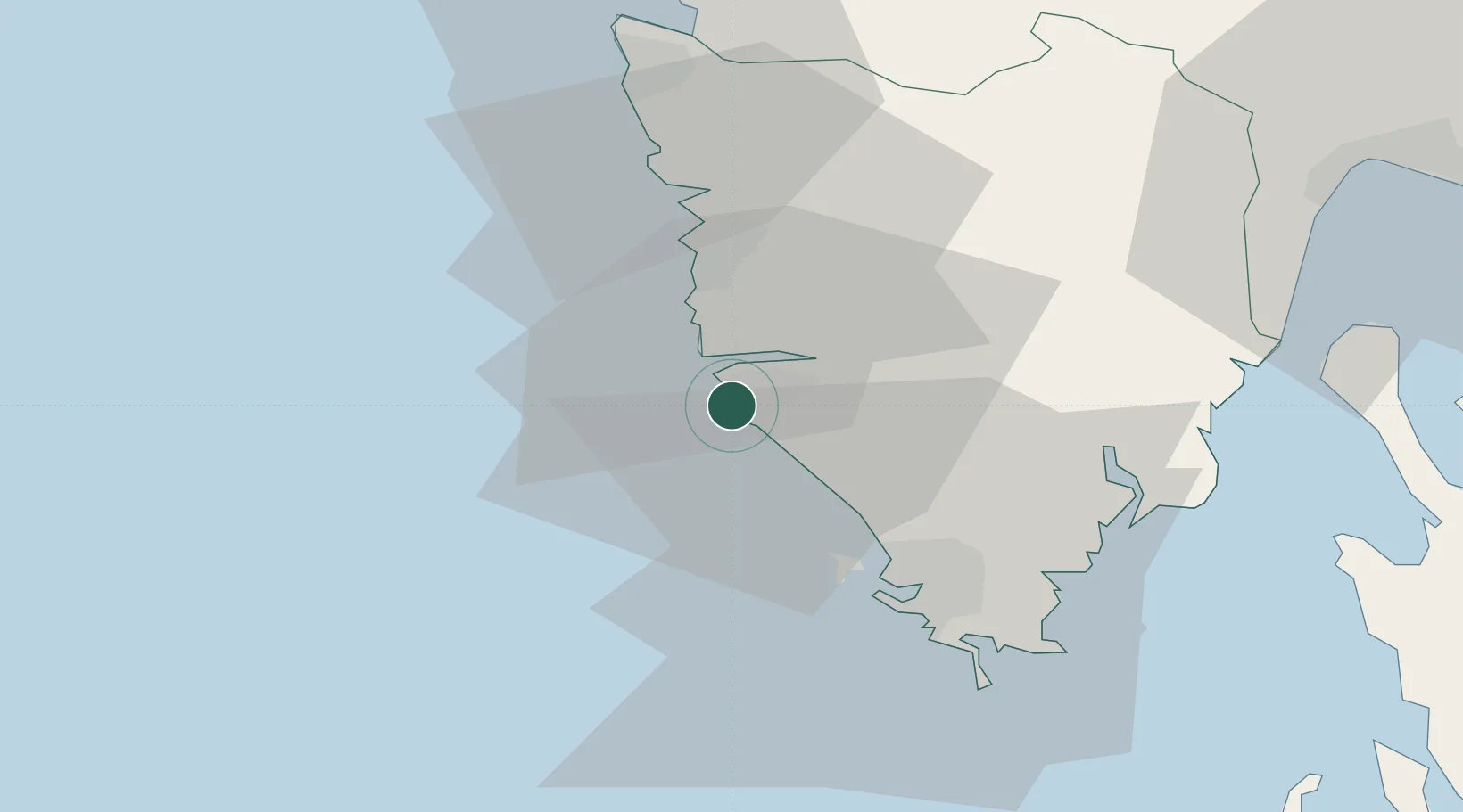
Place type
Provincial seat
Region
Istria
Population
11,629
Time zone
Europe/Zagreb
Elevation
10 m
Location
Nearby Logistics Neighbours
Ports
- 1Pula26 km
- 2Zaliv Rasa34 km
- 3Umag40 km
- 4Piran50 km
- 5Koper53 km
Airports
- 1Pula Airport31 km
- 2Portorož Airport43 km
- 3Rijeka Airport75 km
- 4Trieste Airport84 km
- 5Udine-Rivolto Air Base110 km
Trade Zones
- 1Port of Pula Free Zone29 km
- 2Port of Rijeka Free Zone51 km
- 3Free Port of Trieste63 km
- 4Free Zone Kukuljanovo74 km
- 5Free Port of Venice111 km
DatabookThe Record of Consolidated Knowledge
Croatia beyond logistics?