UN/LOCODE hub · Croatia
HRVRR

Vrsar

45.1500°, 13.6000°
1,535
Population
2
Transport functions

Transport Functions

Port
Road
UN/LOCODE

Hub Profile

Place type
Provincial seat
GeoNames
Region
Istria
GeoNames
Population
1,535
GeoNames
Time zone
Europe/Zagreb
GeoNames
Elevation
15 m
GeoNames

Location

Location of HRVRR
Natural Earth 10m (public domain) · Istria · HRVRR · 45.15, 13.60GoogleOSMYandex

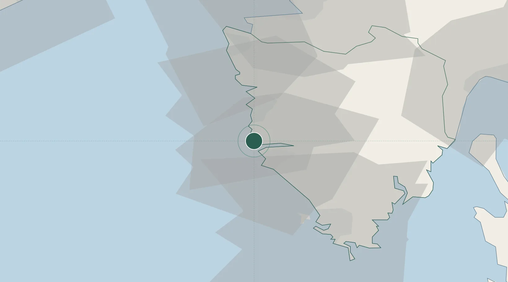
Nearby Logistics Neighbours

Cities
  1. 1Porec8 km
  2. 2Rovinj8 km
  3. 3Novigrad17 km
  4. 4Antenal19 km
  5. 5Fazana26 km
Nearest neighbours — logibook spatial index (haversine) over the source coordinates
Ports
  1. 1Rovinj8 km
  2. 2Umag32 km
  3. 3Pula34 km
  4. 4Zaliv Rasa38 km
  5. 5Piran43 km
Nearest neighbours — logibook spatial index (haversine) over the source coordinates
Airports
  1. 1Portorož Airport36 km
  2. 2Pula Airport38 km
  3. 3Trieste Airport76 km
  4. 4Rijeka Airport76 km
  5. 5Udine-Rivolto Air Base102 km
Nearest neighbours — logibook spatial index (haversine) over the source coordinates
Trade Zones
  1. 1Port of Pula Free Zone37 km
  2. 2Port of Rijeka Free Zone52 km
  3. 3Free Port of Trieste57 km
  4. 4Free Zone Kukuljanovo74 km
  5. 5Free Port of Venice106 km
Nearest neighbours — logibook spatial index (haversine) over the source coordinates
DatabookThe Record of Consolidated Knowledge
Croatia beyond logistics?
Browse databook

All Sources

LocationsUN/LOCODE
UN/LOCODE — free
LocationsGeoNames
CC BY 4.0
Portsthe NGA World Port Index
Public domain (US gov)
AirportsOurAirports
Public domain
Trade Zonesthe World Bank SEZ database
CC BY 4.0
Trade ZonesOpen Zone Map
CC BY
← Croatia locations