Transport Functions
Port
Road
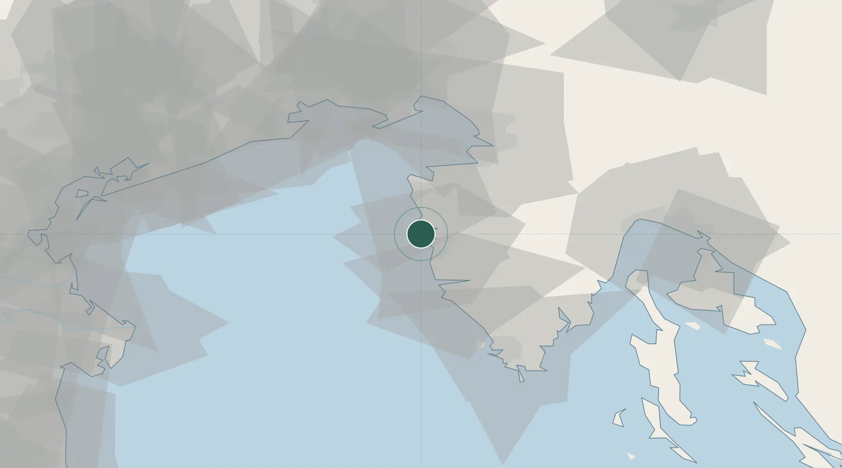
Hub Profile
Place type
Provincial seat
Region
Istria
Population
2,292
Time zone
Europe/Zagreb
Elevation
2 m
Location
Nearby Logistics Neighbours
Airports
- 1Portorož Airport20 km
- 2Pula Airport54 km
- 3Trieste Airport59 km
- 4Rijeka Airport80 km
- 5Udine-Rivolto Air Base85 km
Trade Zones
- 1Free Port of Trieste42 km
- 2Port of Pula Free Zone53 km
- 3Port of Rijeka Free Zone57 km
- 4Free Zone Kukuljanovo75 km
- 5Free Port of Venice98 km
DatabookThe Record of Consolidated Knowledge
Croatia beyond logistics?