Transport Functions
Port
Road
Hub Profile
Place type
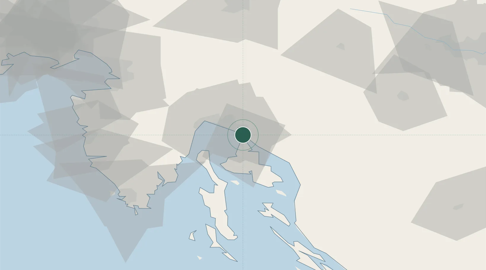
Provincial seat
Region
Primorje-Gorski Kotar
Population
2,415
Time zone
Europe/Zagreb
Elevation
14 m
Location
Nearby Logistics Neighbours
Ports
- 1Bakar5 km
- 2Omisalj6 km
- 3Rijeka Luka13 km
- 4Senj41 km
- 5Zaliv Rasa46 km
Airports
- 1Rijeka Airport6 km
- 2Pula Airport65 km
- 3Portorož Airport78 km
- 4Cerklje ob Krki Air Base103 km
- 5Trieste Airport106 km
Trade Zones
- 1Free Zone Kukuljanovo9 km
- 2Port of Rijeka Free Zone25 km
- 3Port of Pula Free Zone73 km
- 4Free Port of Trieste76 km
- 5PJ Free Zone Zagreb118 km
DatabookThe Record of Consolidated Knowledge
Croatia beyond logistics?