Transport Functions
Port
Road
Hub Profile
Place type
Provincial seat
Region
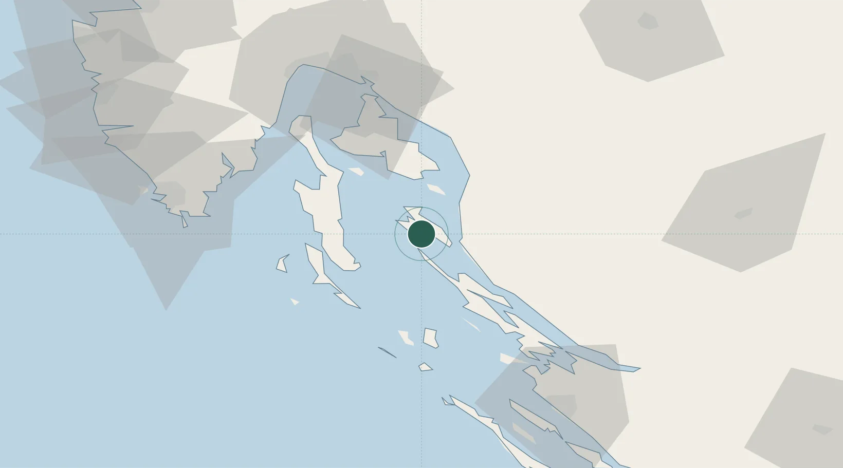
Primorje-Gorski Kotar
Population
364
Time zone
Europe/Zagreb
Elevation
9 m
Location
Nearby Logistics Neighbours
Ports
- 1Senj29 km
- 2Omisalj54 km
- 3Zaliv Rasa63 km
- 4Bakar64 km
- 5Rijeka Luka70 km
Airports
- 1Rijeka Airport54 km
- 2Pula Airport67 km
- 3Udbina Airfield84 km
- 4Zadar Airport87 km
- 5Portorož Airport120 km
Trade Zones
- 1Port of Rijeka Free Zone63 km
- 2Free Zone Kukuljanovo68 km
- 3Port of Pula Free Zone73 km
- 4Free Port of Trieste127 km
- 5PJ Free Zone Zagreb146 km
DatabookThe Record of Consolidated Knowledge
Croatia beyond logistics?