Transport Functions
Port
Road
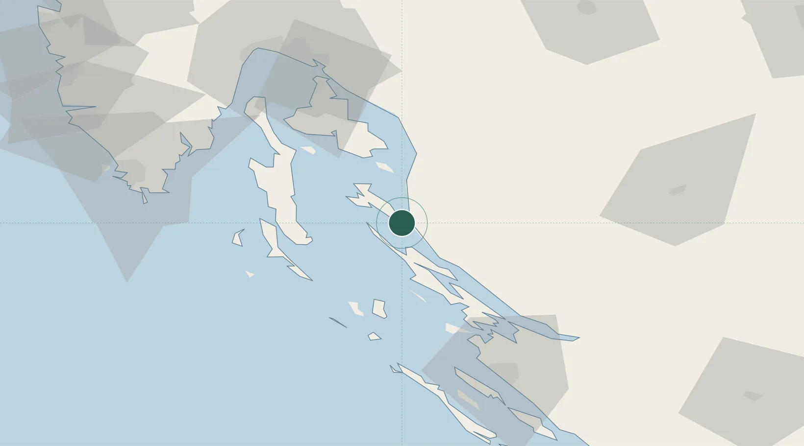
Location
Nearby Logistics Neighbours
Ports
- 1Senj32 km
- 2Omisalj63 km
- 3Zadar71 km
- 4Bakar72 km
- 5Zaliv Rasa74 km
Airports
- 1Rijeka Airport62 km
- 2Udbina Airfield74 km
- 3Zadar Airport77 km
- 4Pula Airport78 km
- 5Portorož Airport130 km
Trade Zones
- 1Port of Rijeka Free Zone73 km
- 2Free Zone Kukuljanovo76 km
- 3Port of Pula Free Zone84 km
- 4Free Port of Trieste137 km
- 5PJ Free Zone Zagreb146 km
DatabookThe Record of Consolidated Knowledge
Croatia beyond logistics?