Transport Functions
Port
Road
Hub Profile
Place type
Populated place
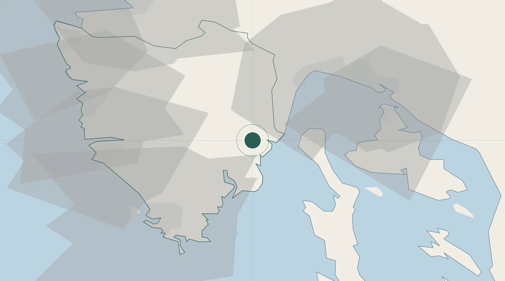
Region
Primorje-Gorski Kotar
Population
28
Time zone
Europe/Zagreb
Elevation
67 m
Location
Nearby Logistics Neighbours
Cities
- 1Plomin3 km
- 2Rabac6 km
- 3Rasa9 km
- 4Moscenicka Draga14 km
- 5Koromacno19 km
Ports
- 1Zaliv Rasa11 km
- 2Rijeka Luka32 km
- 3Omisalj34 km
- 4Bakar36 km
- 5Pula38 km
Airports
- 1Pula Airport31 km
- 2Rijeka Airport36 km
- 3Portorož Airport55 km
- 4Trieste Airport93 km
- 5Ljubljana Jože Pučnik Airport124 km
Trade Zones
- 1Port of Rijeka Free Zone12 km
- 2Free Zone Kukuljanovo37 km
- 3Port of Pula Free Zone38 km
- 4Free Port of Trieste64 km
- 5Free Port of Venice146 km
DatabookThe Record of Consolidated Knowledge
Croatia beyond logistics?