UN/LOCODE hub · Croatia
HRRAS

Rasa

45.0667°, 14.0667°
1,184
Population
3
Transport functions

Transport Functions

Port
Rail
Road
Rasa is also a profiled seaport →
UN/LOCODE

Hub Profile

Place type
Provincial seat
GeoNames
Region
Istria
GeoNames
Population
1,184
GeoNames
Time zone
Europe/Zagreb
GeoNames
Elevation
96 m
GeoNames

Location

Location of HRRAS
Natural Earth 10m (public domain) · Istria · HRRAS · 45.07, 14.07GoogleOSMYandex

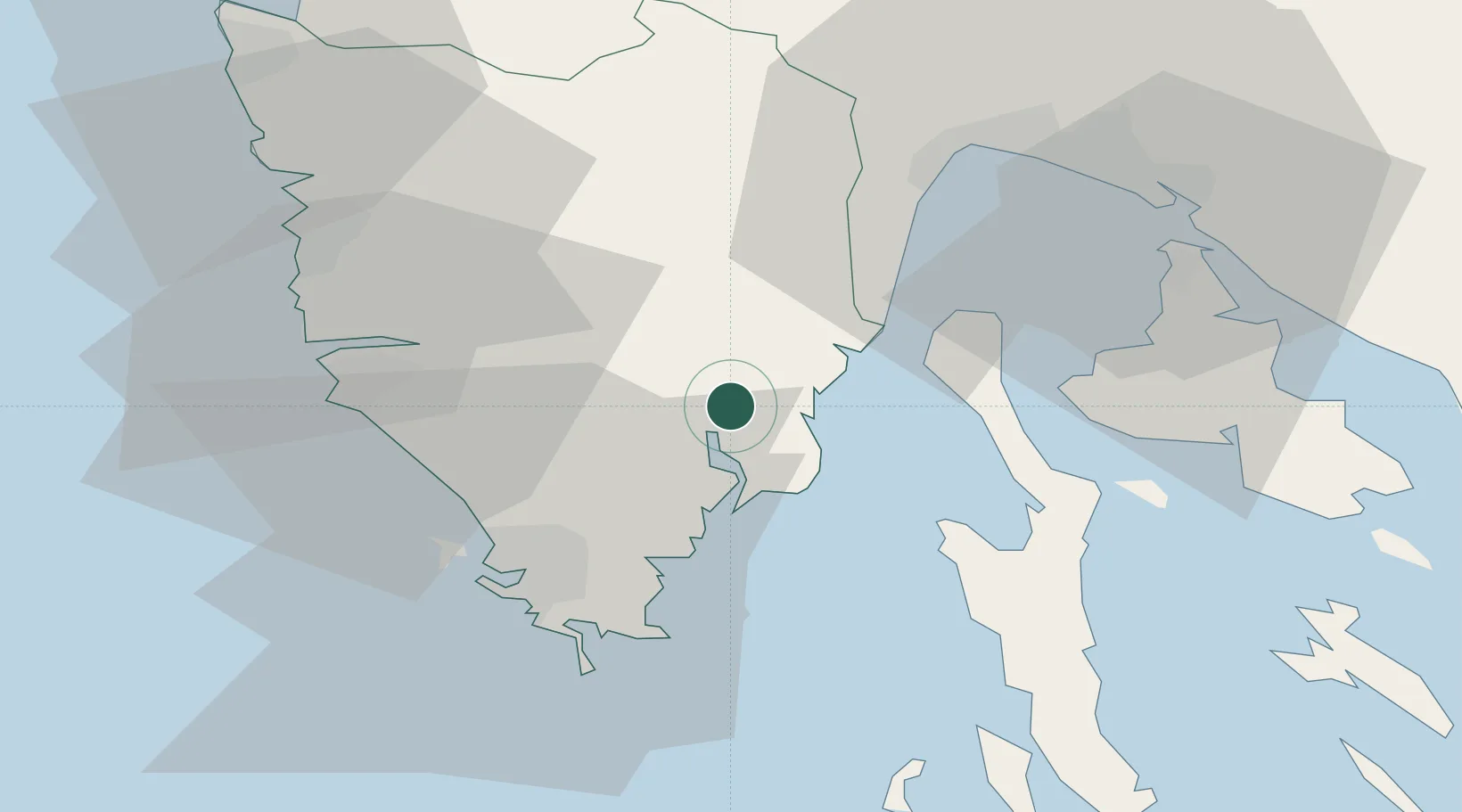
Nearby Logistics Neighbours

Cities
  1. 1Rabac8 km
  2. 2Porozina9 km
  3. 3Plomin11 km
  4. 4Tunarica11 km
  5. 5Koromacno12 km
Nearest neighbours — logibook spatial index (haversine) over the source coordinates
Ports
  1. 1Pula29 km
  2. 2Rovinj34 km
  3. 3Rijeka Luka41 km
  4. 4Omisalj41 km
  5. 5Bakar45 km
Nearest neighbours — logibook spatial index (haversine) over the source coordinates
Airports
  1. 1Pula Airport22 km
  2. 2Rijeka Airport43 km
  3. 3Portorož Airport57 km
  4. 4Trieste Airport97 km
  5. 5Udine-Rivolto Air Base129 km
Nearest neighbours — logibook spatial index (haversine) over the source coordinates
Trade Zones
  1. 1Port of Rijeka Free Zone21 km
  2. 2Port of Pula Free Zone29 km
  3. 3Free Zone Kukuljanovo46 km
  4. 4Free Port of Trieste69 km
  5. 5Free Port of Venice143 km
Nearest neighbours — logibook spatial index (haversine) over the source coordinates
DatabookThe Record of Consolidated Knowledge
Croatia beyond logistics?
Browse databook

All Sources

LocationsUN/LOCODE
UN/LOCODE — free
LocationsGeoNames
CC BY 4.0
Portsthe NGA World Port Index
Public domain (US gov)
AirportsOurAirports
Public domain
Trade Zonesthe World Bank SEZ database
CC BY 4.0
Trade ZonesOpen Zone Map
CC BY
← Croatia locations