Transport Functions
Port
Road
Hub Profile
Place type
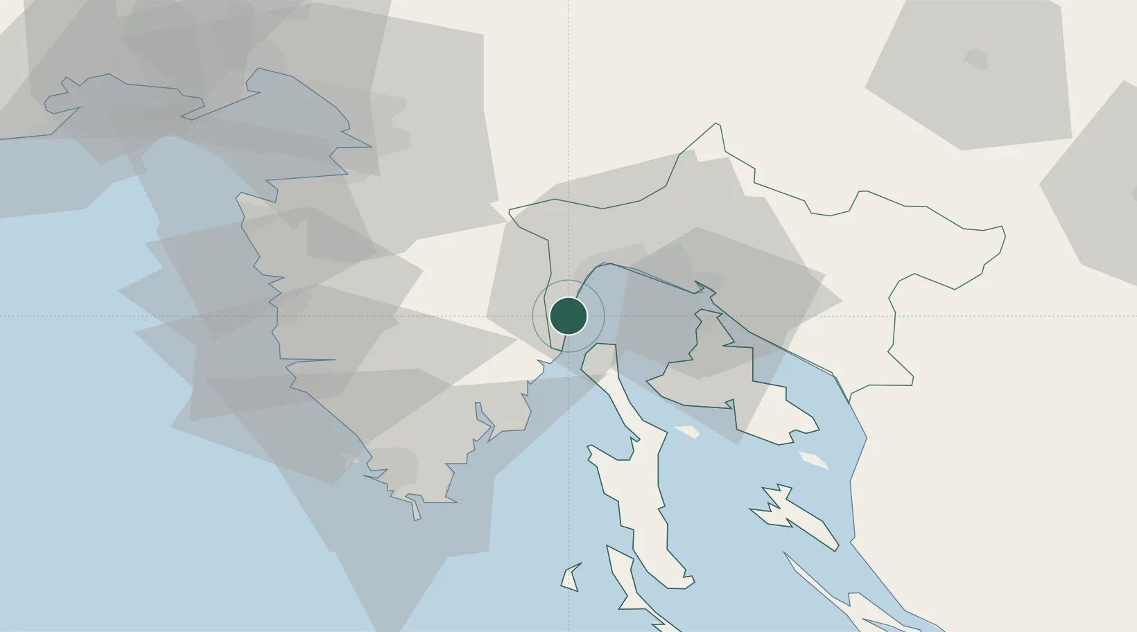
Provincial seat
Region
Primorje-Gorski Kotar
Population
452
Time zone
Europe/Zagreb
Elevation
5 m
Location
Nearby Logistics Neighbours
Ports
- 1Rijeka Luka18 km
- 2Bakar23 km
- 3Omisalj24 km
- 4Zaliv Rasa25 km
- 5Rovinj51 km
Airports
- 1Rijeka Airport25 km
- 2Pula Airport46 km
- 3Portorož Airport56 km
- 4Trieste Airport90 km
- 5Ljubljana Jože Pučnik Airport111 km
Trade Zones
- 1Port of Rijeka Free Zone5 km
- 2Free Zone Kukuljanovo23 km
- 3Port of Pula Free Zone53 km
- 4Free Port of Trieste60 km
- 5PJ Free Zone Zagreb142 km
DatabookThe Record of Consolidated Knowledge
Croatia beyond logistics?