Transport Functions
Port
Road
Hub Profile
Place type
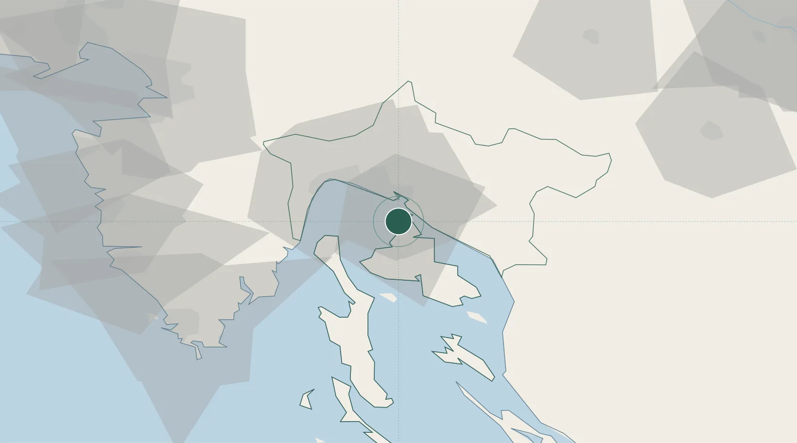
Provincial seat
Region
Primorje-Gorski Kotar
Population
1,877
Time zone
Europe/Zagreb
Elevation
87 m
Location
Nearby Logistics Neighbours
Cities
- 1Kraljevica6 km
- 2Bakar10 km
- 3Klimno10 km
- 4Kostrena10 km
- 5Krasica11 km
Ports
- 1Bakar9 km
- 2Rijeka Luka16 km
- 3Senj38 km
- 4Zaliv Rasa42 km
- 5Pula70 km
Airports
- 1Rijeka Airport2 km
- 2Pula Airport61 km
- 3Portorož Airport78 km
- 4Cerklje ob Krki Air Base108 km
- 5Trieste Airport108 km
Trade Zones
- 1Free Zone Kukuljanovo14 km
- 2Port of Rijeka Free Zone23 km
- 3Port of Pula Free Zone69 km
- 4Free Port of Trieste78 km
- 5PJ Free Zone Zagreb122 km
DatabookThe Record of Consolidated Knowledge
Croatia beyond logistics?