Transport Functions
Port
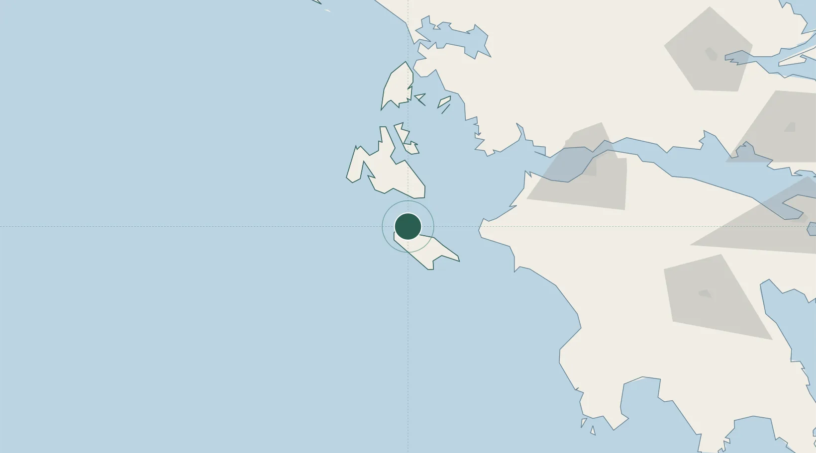
Location
Nearby Logistics Neighbours
Cities
- 1Zákynthos22 km
- 2Pessada Kefallinnias25 km
- 3Argostólion37 km
- 4Killíni38 km
- 5Sámi39 km
Ports
- 1Argostolion35 km
- 2Katakolon61 km
- 3Astakos74 km
- 4Mesolongion81 km
- 5Patrai99 km
Airports
Trade Zones
- 1Free Zone of Platigiali (Astakos Etoloakarnanias)73 km
- 2Gjirokastër Freezone246 km
- 3Free Zone of Piraeus256 km
- 4Përmet Freezone262 km
- 5Korçë Freezone305 km
DatabookThe Record of Consolidated Knowledge
Greece beyond logistics?