UN/LOCODE hub · Greece
GRXIR

Xirokampos Leros

37.1167°, 26.8667°
2
Transport functions

Transport Functions

Port
Road
UN/LOCODE

Hub Profile

Region
L
GeoNames

Location

Location of GRXIR
Natural Earth 10m (public domain) · L · GRXIR · 37.12, 26.87GoogleOSMYandex

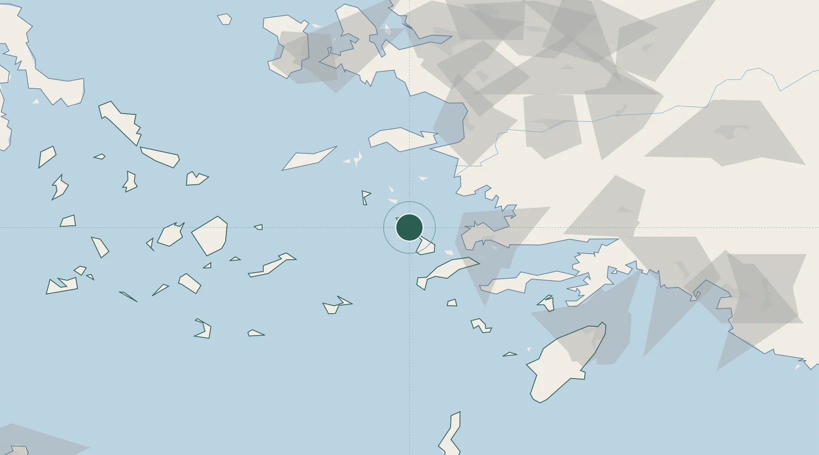
Nearby Logistics Neighbours

Cities
  1. 1Lakkion2 km
  2. 2Agia Marina Lerou4 km
  3. 3Leros10 km
  4. 4Myrties Kalymnou16 km
  5. 5Lipsoí21 km
Nearest neighbours — logibook spatial index (haversine) over the source coordinates
Ports
  1. 1Lakki2 km
  2. 2Kalimnos21 km
  3. 3Limin Kos44 km
  4. 4Bodrum51 km
  5. 5Pithagorion63 km
Nearest neighbours — logibook spatial index (haversine) over the source coordinates
Airports
  1. 1Leros Airport10 km
  2. 2Kalymnos Airport18 km
  3. 3Kos International Airport "Ippokratis"41 km
  4. 4Samos Airport64 km
  5. 5Milas Bodrum International Airport72 km
Nearest neighbours — logibook spatial index (haversine) over the source coordinates
Trade Zones
  1. 1Tire Organized Industrial Zone134 km
  2. 2Aegean Free Zone138 km
  3. 3Izmir Ataturk Organized Industrial Zone154 km
  4. 4Izmir Free Zone167 km
  5. 5Manisa Organized Industrial Zone172 km
Nearest neighbours — logibook spatial index (haversine) over the source coordinates
DatabookThe Record of Consolidated Knowledge
Greece beyond logistics?
Browse databook

All Sources

LocationsUN/LOCODE
UN/LOCODE — free
Portsthe NGA World Port Index
Public domain (US gov)
AirportsOurAirports
Public domain
Trade Zonesthe World Bank SEZ database
CC BY 4.0
Trade ZonesOpen Zone Map
CC BY
← Greece locations