UN/LOCODE hub · Greece
GRMRS

Myrties Kalymnou

36.9833°, 26.9167°
1
Transport functions

Transport Functions

Port
UN/LOCODE

Hub Profile

Region
L
GeoNames

Location

Location of GRMRS
Natural Earth 10m (public domain) · L · GRMRS · 36.98, 26.92GoogleOSMYandex

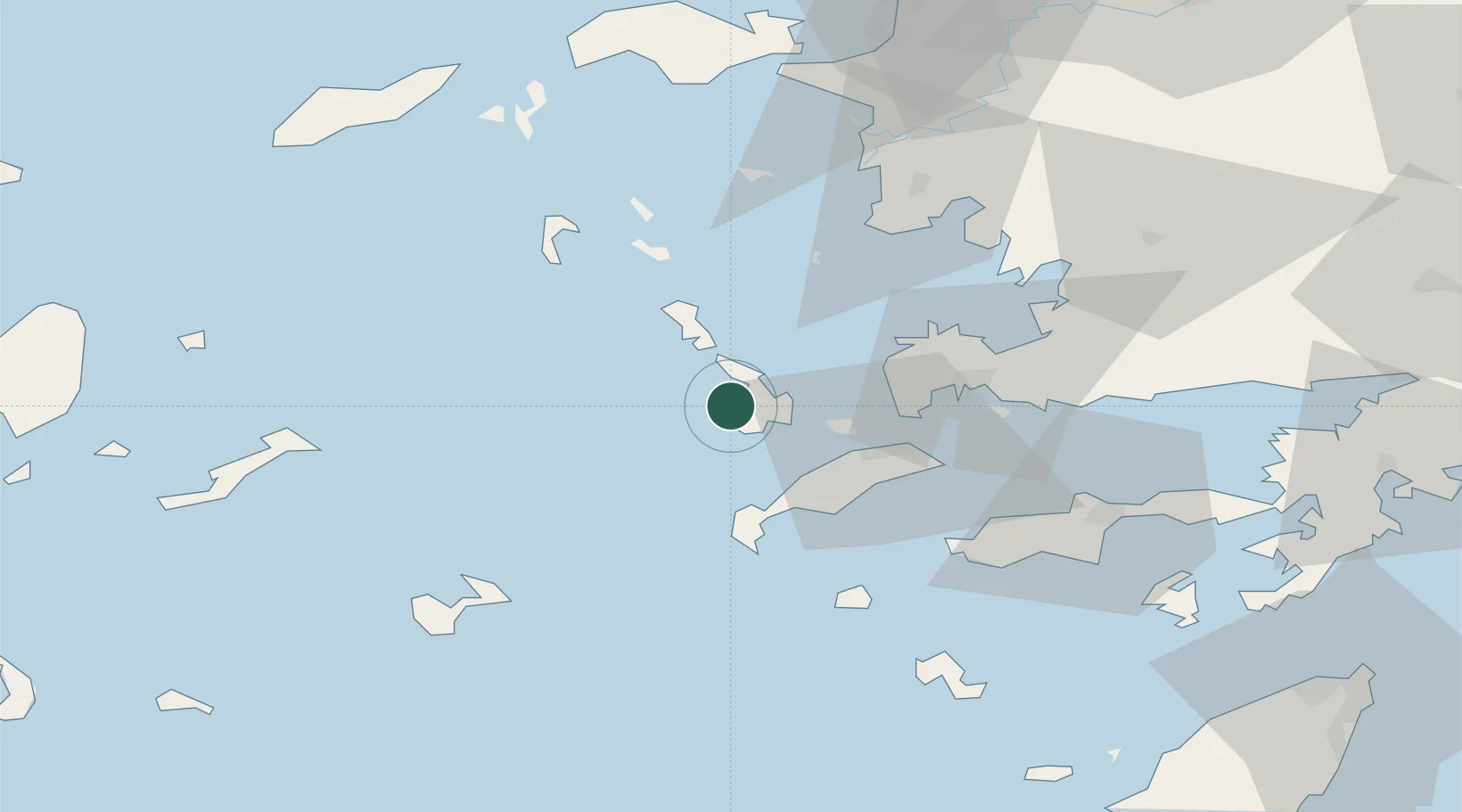
Nearby Logistics Neighbours

Cities
  1. 1Kálymnos7 km
  2. 2Xirokampos Leros16 km
  3. 3Lakkion18 km
  4. 4Agia Marina Lerou20 km
  5. 5Mastichari Kos20 km
Nearest neighbours — logibook spatial index (haversine) over the source coordinates
Ports
  1. 1Kalimnos7 km
  2. 2Lakki18 km
  3. 3Limin Kos34 km
  4. 4Bodrum46 km
  5. 5Gulluk69 km
Nearest neighbours — logibook spatial index (haversine) over the source coordinates
Airports
  1. 1Kalymnos Airport3 km
  2. 2Leros Airport25 km
  3. 3Kos International Airport "Ippokratis"26 km
  4. 4Astypalaia Airport66 km
  5. 5Milas Bodrum International Airport73 km
Nearest neighbours — logibook spatial index (haversine) over the source coordinates
Trade Zones
  1. 1Tire Organized Industrial Zone144 km
  2. 2Aegean Free Zone152 km
  3. 3Izmir Ataturk Organized Industrial Zone168 km
  4. 4Izmir Free Zone182 km
  5. 5Manisa Organized Industrial Zone186 km
Nearest neighbours — logibook spatial index (haversine) over the source coordinates
DatabookThe Record of Consolidated Knowledge
Greece beyond logistics?
Browse databook

All Sources

LocationsUN/LOCODE
UN/LOCODE — free
Portsthe NGA World Port Index
Public domain (US gov)
AirportsOurAirports
Public domain
Trade Zonesthe World Bank SEZ database
CC BY 4.0
Trade ZonesOpen Zone Map
CC BY
← Greece locations