Transport Functions
Port
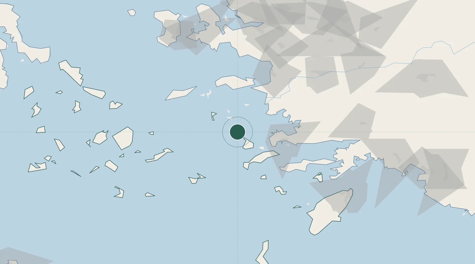
Location
Nearby Logistics Neighbours
Cities
- 1Agia Marina Lerou2 km
- 2Xirokampos Leros2 km
- 3Leros7 km
- 4Myrties Kalymnou18 km
- 5Lipsoí18 km
Ports
- 1Kalimnos24 km
- 2Limin Kos46 km
- 3Bodrum53 km
- 4Pithagorion62 km
- 5Gulluk69 km
Airports
- 1Leros Airport7 km
- 2Kalymnos Airport21 km
- 3Kos International Airport "Ippokratis"43 km
- 4Samos Airport62 km
- 5Milas Bodrum International Airport73 km
Trade Zones
- 1Tire Organized Industrial Zone133 km
- 2Aegean Free Zone136 km
- 3Izmir Ataturk Organized Industrial Zone152 km
- 4Izmir Free Zone165 km
- 5Manisa Organized Industrial Zone171 km
DatabookThe Record of Consolidated Knowledge
Greece beyond logistics?