Transport Functions
Port
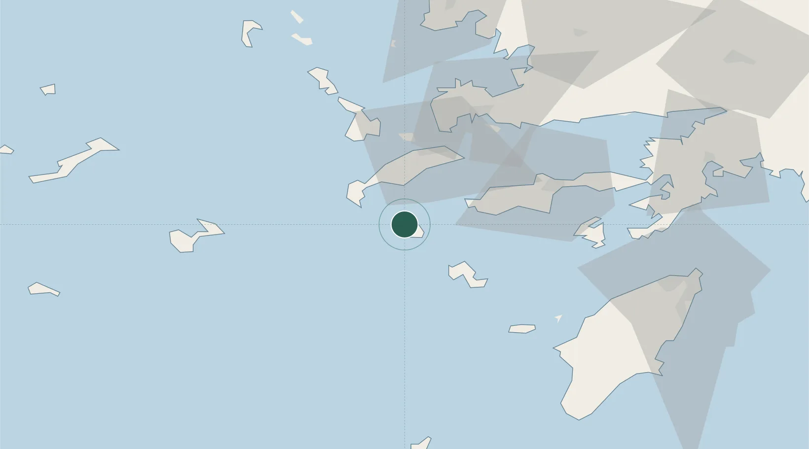
Location
Nearby Logistics Neighbours
Cities
- 1Kardamaina Kos19 km
- 2Kefalos Ko20 km
- 3Mastichari Kos27 km
- 4Kos30 km
- 5Tilos31 km
Airports
- 1Kos International Airport "Ippokratis"20 km
- 2Kalymnos Airport42 km
- 3Astypalaia Airport68 km
- 4Leros Airport70 km
- 5Milas Bodrum International Airport85 km
Trade Zones
- 1Tire Organized Industrial Zone175 km
- 2Aegean Free Zone191 km
- 3Izmir Ataturk Organized Industrial Zone209 km
- 4Izmir Free Zone223 km
- 5Manisa Organized Industrial Zone223 km
DatabookThe Record of Consolidated Knowledge
Greece beyond logistics?