Transport Functions
Port
Hub Profile
Region
07
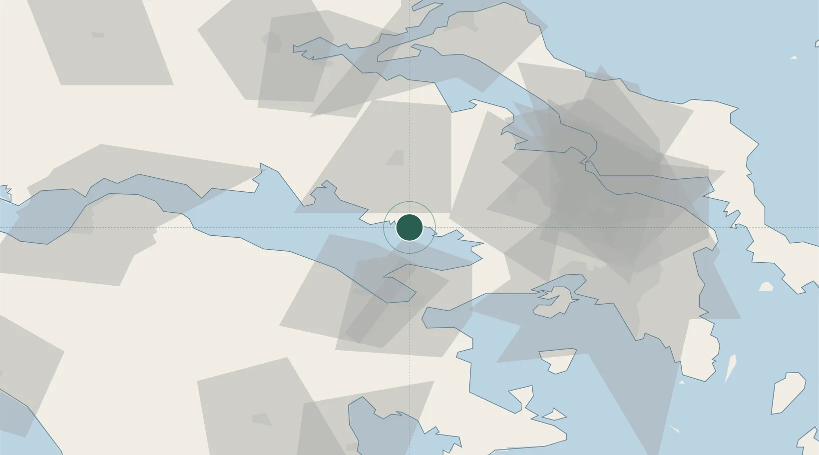
Location
Nearby Logistics Neighbours
Cities
- 1Dombraina Boiotias0 km
- 2Voiotia12 km
- 3Pétra Lesvou20 km
- 4Levadhia25 km
- 5Saint Nicolas28 km
Ports
- 1Megara Oil Terminal48 km
- 2Itea52 km
- 3Piraievs69 km
- 4Navplio74 km
- 5Aigio76 km
Airports
Trade Zones
- 1Free Zone of Piraeus65 km
- 2Free Zone of Platigiali (Astakos Etoloakarnanias)164 km
- 3Free Zone of Thessaloniki269 km
- 4Gjirokastër Freezone317 km
- 5Përmet Freezone317 km
DatabookThe Record of Consolidated Knowledge
Greece beyond logistics?