Transport Functions
Multimodal
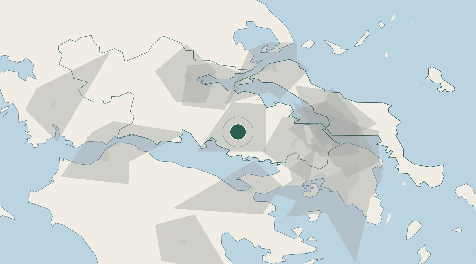
Hub Profile
Region
03
Location
Nearby Logistics Neighbours
Cities
- 1Voiotia17 km
- 2Saint Nicolas19 km
- 3Pétra Lesvou19 km
- 4Antikyra21 km
- 5Tithoréa24 km
Ports
- 1Itea39 km
- 2Achladi52 km
- 3Kymassi69 km
- 4Megara Oil Terminal70 km
- 5Aigio71 km
Airports
Trade Zones
- 1Free Zone of Piraeus85 km
- 2Free Zone of Platigiali (Astakos Etoloakarnanias)154 km
- 3Free Zone of Thessaloniki245 km
- 4Përmet Freezone295 km
- 5Gjirokastër Freezone295 km
DatabookThe Record of Consolidated Knowledge
Greece beyond logistics?