UN/LOCODE hub · Greece
GRPYV

Peyki Evvoias

39.0000°, 23.2167°
1
Transport functions

Transport Functions

Port
UN/LOCODE

Hub Profile

Region
04
GeoNames

Location

Location of GRPYV
Natural Earth 10m (public domain) · 04 · GRPYV · 39.00, 23.22GoogleOSMYandex

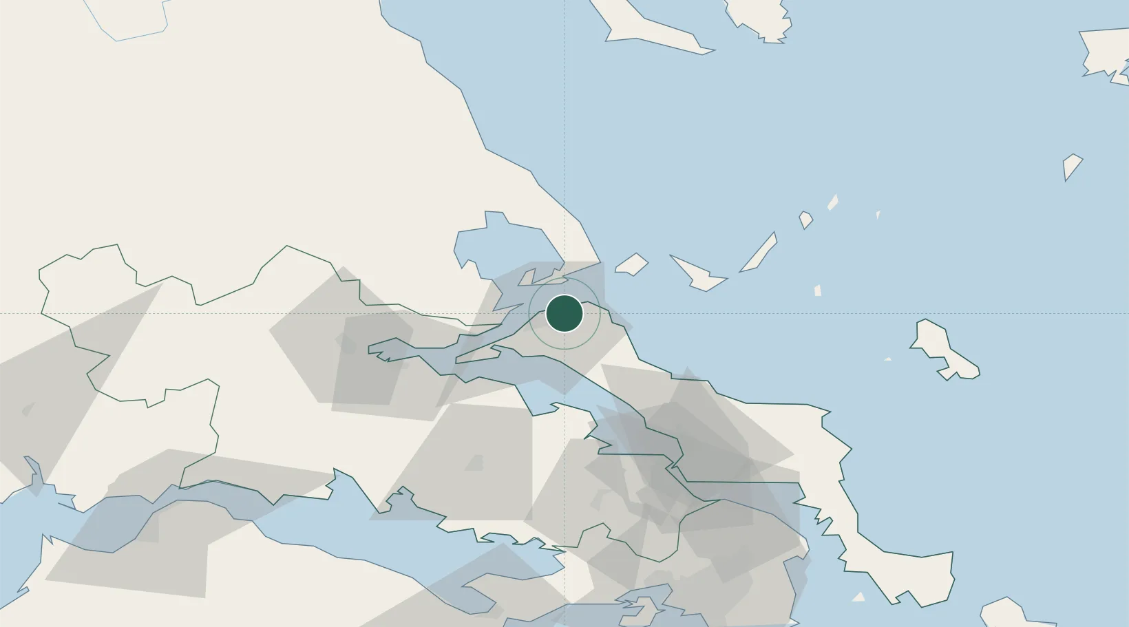
Nearby Logistics Neighbours

Cities
  1. 1Orei13 km
  2. 2Platania15 km
  3. 3Agia Kyriaki (Trikeri Magnisia)16 km
  4. 4Trikeri Island16 km
  5. 5Agiokampos Oreon18 km
Nearest neighbours — logibook spatial index (haversine) over the source coordinates
Ports
  1. 1Kymassi29 km
  2. 2Achladi36 km
  3. 3Tsingeli37 km
  4. 4Volos47 km
  5. 5Itea94 km
Nearest neighbours — logibook spatial index (haversine) over the source coordinates
Airports
  1. 1Skiathos Island National Airport32 km
  2. 2Nea Anchialos National Airport44 km
  3. 3Tanagra Air Base79 km
  4. 4Elefsis Air Base108 km
  5. 5Skiros Airport110 km
Nearest neighbours — logibook spatial index (haversine) over the source coordinates
Trade Zones
  1. 1Free Zone of Piraeus122 km
  2. 2Free Zone of Thessaloniki184 km
  3. 3Free Zone of Platigiali (Astakos Etoloakarnanias)192 km
  4. 4TIDZ Gevgelija252 km
  5. 5TIDZ Strumica269 km
Nearest neighbours — logibook spatial index (haversine) over the source coordinates
DatabookThe Record of Consolidated Knowledge
Greece beyond logistics?
Browse databook

All Sources

LocationsUN/LOCODE
UN/LOCODE — free
Portsthe NGA World Port Index
Public domain (US gov)
AirportsOurAirports
Public domain
Trade Zonesthe World Bank SEZ database
CC BY 4.0
Trade ZonesOpen Zone Map
CC BY
← Greece locations