UN/LOCODE hub · Greece
GRAOR

Agiokampos Oreon

38.9333°, 23.0333°
1
Transport functions

Transport Functions

Port
UN/LOCODE

Hub Profile

Region
H
GeoNames

Location

Location of GRAOR
Natural Earth 10m (public domain) · H · GRAOR · 38.93, 23.03GoogleOSMYandex

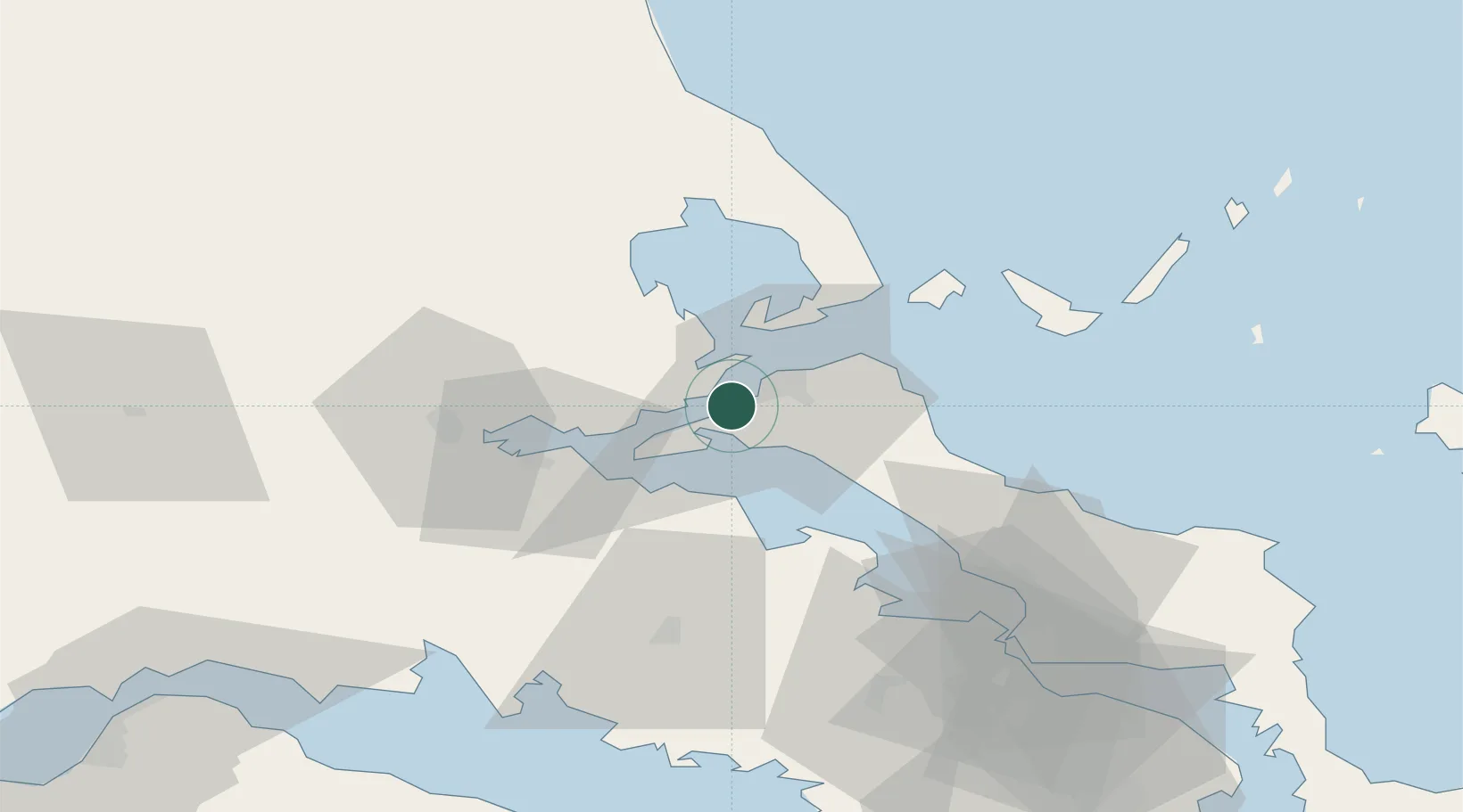
Nearby Logistics Neighbours

Cities
  1. 1Orei5 km
  2. 2Glyfa Fthiotidas6 km
  3. 3Edipsos7 km
  4. 4Aidipsou9 km
  5. 5Akhillion9 km
Nearest neighbours — logibook spatial index (haversine) over the source coordinates
Ports
  1. 1Achladi19 km
  2. 2Tsingeli30 km
  3. 3Kymassi39 km
  4. 4Volos49 km
  5. 5Itea77 km
Nearest neighbours — logibook spatial index (haversine) over the source coordinates
Airports
  1. 1Nea Anchialos National Airport38 km
  2. 2Skiathos Island National Airport49 km
  3. 3Tanagra Air Base81 km
  4. 4Elefsis Air Base107 km
  5. 5Skiros Airport126 km
Nearest neighbours — logibook spatial index (haversine) over the source coordinates
Trade Zones
  1. 1Free Zone of Piraeus121 km
  2. 2Free Zone of Platigiali (Astakos Etoloakarnanias)175 km
  3. 3Free Zone of Thessaloniki190 km
  4. 4TIDZ Gevgelija256 km
  5. 5Korçë Freezone269 km
Nearest neighbours — logibook spatial index (haversine) over the source coordinates
DatabookThe Record of Consolidated Knowledge
Greece beyond logistics?
Browse databook

All Sources

LocationsUN/LOCODE
UN/LOCODE — free
Portsthe NGA World Port Index
Public domain (US gov)
AirportsOurAirports
Public domain
Trade Zonesthe World Bank SEZ database
CC BY 4.0
Trade ZonesOpen Zone Map
CC BY
← Greece locations