UN/LOCODE hub · Greece
GRORE

Orei

38.9500°, 23.0833°
1
Transport functions

Transport Functions

Port
UN/LOCODE

Location

Location of GRORE
Natural Earth 10m (public domain) · Stereá Elláda · GRORE · 38.95, 23.08GoogleOSMYandex

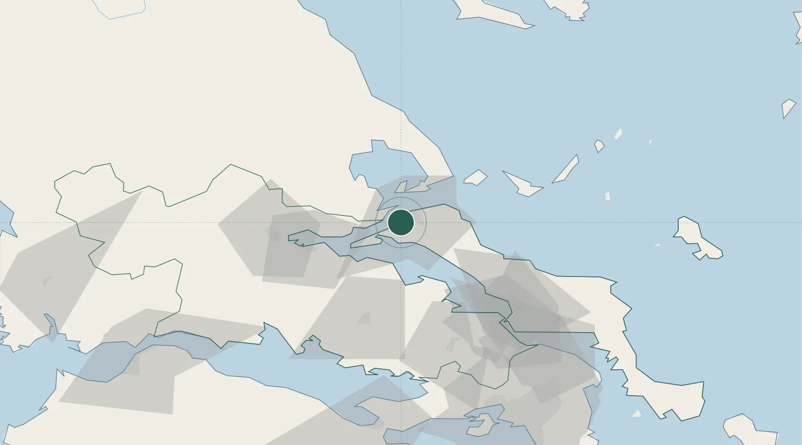
Nearby Logistics Neighbours

Cities
  1. 1Agiokampos Oreon5 km
  2. 2Glyfa Fthiotidas10 km
  3. 3Edipsos10 km
  4. 4Akhillion12 km
  5. 5Aidipsou12 km
Nearest neighbours — logibook spatial index (haversine) over the source coordinates
Ports
  1. 1Achladi24 km
  2. 2Tsingeli31 km
  3. 3Kymassi36 km
  4. 4Volos48 km
  5. 5Itea82 km
Nearest neighbours — logibook spatial index (haversine) over the source coordinates
Airports
  1. 1Nea Anchialos National Airport39 km
  2. 2Skiathos Island National Airport44 km
  3. 3Tanagra Air Base80 km
  4. 4Elefsis Air Base107 km
  5. 5Skiros Airport121 km
Nearest neighbours — logibook spatial index (haversine) over the source coordinates
Trade Zones
  1. 1Free Zone of Piraeus121 km
  2. 2Free Zone of Platigiali (Astakos Etoloakarnanias)180 km
  3. 3Free Zone of Thessaloniki188 km
  4. 4TIDZ Gevgelija255 km
  5. 5Korçë Freezone271 km
Nearest neighbours — logibook spatial index (haversine) over the source coordinates
DatabookThe Record of Consolidated Knowledge
Greece beyond logistics?
Browse databook

All Sources

LocationsUN/LOCODE
UN/LOCODE — free
Portsthe NGA World Port Index
Public domain (US gov)
AirportsOurAirports
Public domain
Trade Zonesthe World Bank SEZ database
CC BY 4.0
Trade ZonesOpen Zone Map
CC BY
← Greece locations