Transport Functions
Port
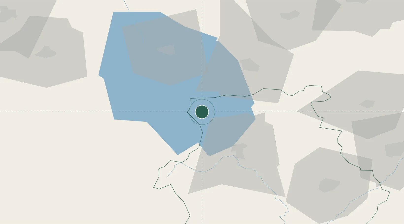
Hub Profile
Place type
Populated place
Region
West Macedonia
Population
89
Time zone
Europe/Athens
Elevation
874 m
Location
Nearby Logistics Neighbours
Ports
- 1Vlore134 km
- 2Durres146 km
- 3Porto Romano152 km
- 4Kerkira158 km
- 5Thessaloniki161 km
Airports
Trade Zones
- 1Korçë Freezone24 km
- 2Pogradec Freezone34 km
- 3TIDZ Struga52 km
- 4TIDZ Prilep69 km
- 5TIDZ Kičevo81 km
DatabookThe Record of Consolidated Knowledge
Greece beyond logistics?