UN/LOCODE hub · North Macedonia
MKBTL
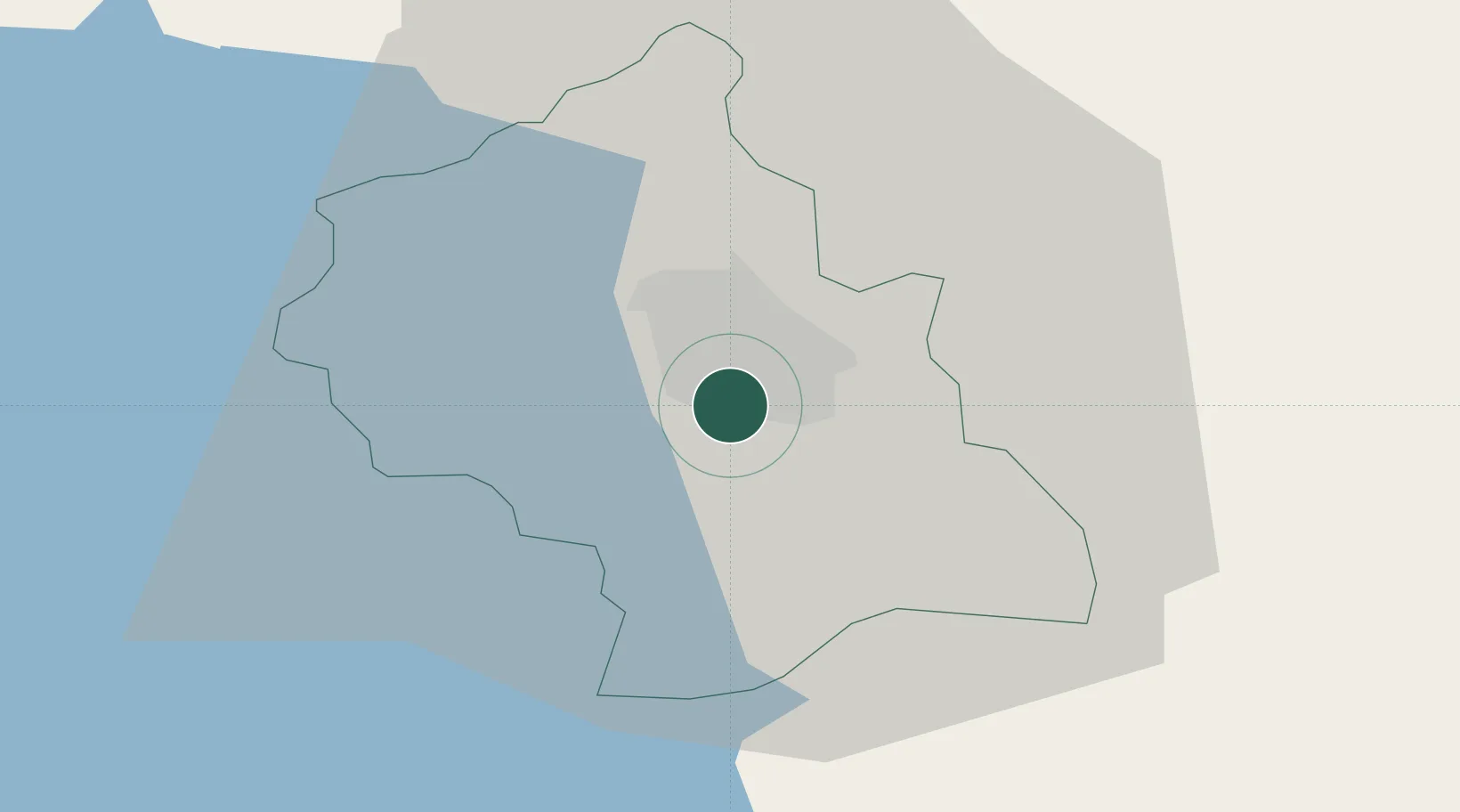
Bitola
41.0167°, 21.3167°
69,287
Population
3
Transport functions
Transport Functions
Rail
Road
Airport
Hub Profile
Place type
Regional capital
Region
Bitola
Population
69,287
Time zone
Europe/Skopje
Elevation
583 m
Location
Nearby Logistics Neighbours
Cities
- 1Pyli37 km
- 2Prilep40 km
- 3Amíndaion48 km
- 4Kopanós80 km
- 5Stenimahos82 km
Ports
- 1Thessaloniki143 km
- 2Durres160 km
- 3Porto Romano164 km
- 4Vlore165 km
- 5Shengjin169 km
Airports
Trade Zones
- 1TIDZ Prilep33 km
- 2TIDZ Struga52 km
- 3Pogradec Freezone57 km
- 4TIDZ Kičevo60 km
- 5Korçë Freezone61 km
DatabookThe Record of Consolidated Knowledge
North Macedonia beyond logistics?