UN/LOCODE hub · Greece
GRAMY

Amíndaion

40.6833°, 21.6833°
2
Transport functions

Transport Functions

Rail
Road
UN/LOCODE

Hub Profile

Region
63
GeoNames

Location

Location of GRAMY
Natural Earth 10m (public domain) · 63 · GRAMY · 40.68, 21.68GoogleOSMYandex

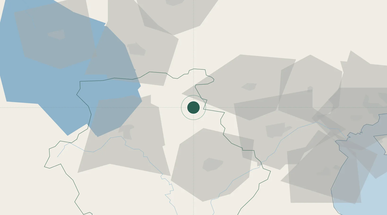
Nearby Logistics Neighbours

Cities
  1. 1Kopanós37 km
  2. 2Stenimahos38 km
  3. 3Bitola48 km
  4. 4Pyli56 km
  5. 5Giannitsa61 km
Nearest neighbours — logibook spatial index (haversine) over the source coordinates
Ports
  1. 1Thessaloniki106 km
  2. 2Yerakini158 km
  3. 3Volos182 km
  4. 4Stratoni183 km
  5. 5Vlore186 km
Nearest neighbours — logibook spatial index (haversine) over the source coordinates
Airports
  1. 1Kastoria National Airport Aristotle43 km
  2. 2Kozani National Airport Filippos46 km
  3. 3Ohrid St. Paul the Apostle Airport96 km
  4. 4Thessaloniki Macedonia International Airport110 km
  5. 5Ioannina King Pyrrhus National Airport132 km
Nearest neighbours — logibook spatial index (haversine) over the source coordinates
Trade Zones
  1. 1TIDZ Prilep68 km
  2. 2Korçë Freezone75 km
  3. 3TIDZ Gevgelija89 km
  4. 4Pogradec Freezone89 km
  5. 5TIDZ Struga97 km
Nearest neighbours — logibook spatial index (haversine) over the source coordinates
DatabookThe Record of Consolidated Knowledge
Greece beyond logistics?
Browse databook

All Sources

LocationsUN/LOCODE
UN/LOCODE — free
Portsthe NGA World Port Index
Public domain (US gov)
AirportsOurAirports
Public domain
Trade Zonesthe World Bank SEZ database
CC BY 4.0
Trade ZonesOpen Zone Map
CC BY
← Greece locations