UN/LOCODE hub · North Macedonia
MKPLP
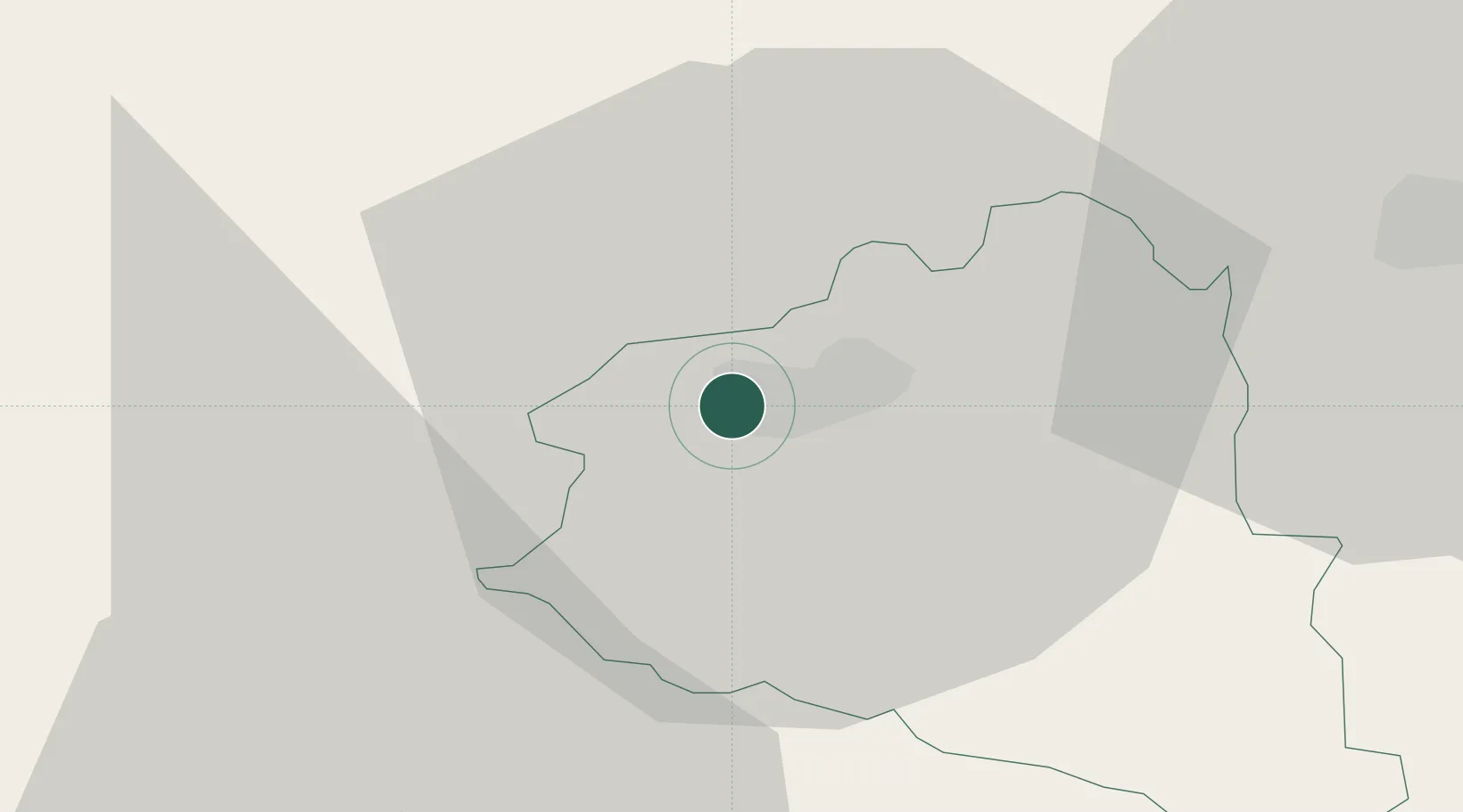
Prilep
41.3445°, 21.5174°
73,814
Population
2
Transport functions
Transport Functions
Rail
Road
Hub Profile
Place type
Regional capital
Region
Prilep
Population
73,814
Time zone
Europe/Skopje
Elevation
655 m
Logistics facilities
1
Location
Nearby Logistics Neighbours
Cities
- 1Bitola40 km
- 2Titov Veles45 km
- 3Veles45 km
- 4Lozovo57 km
- 5Demir Kapija60 km
Ports
- 1Thessaloniki143 km
- 2Shengjin168 km
- 3Durres173 km
- 4Porto Romano175 km
- 5Vlore196 km
Airports
Trade Zones
- 1TIDZ Prilep8 km
- 2TIDZ Kičevo49 km
- 3TIDZ Struga68 km
- 4TIDZ ō tip72 km
- 5TIDZ Skopje 1 - Bunardō¾ik72 km
DatabookThe Record of Consolidated Knowledge
North Macedonia beyond logistics?