Transport Functions
Multimodal
Hub Profile
Place type
District seat
Region
Central Macedonia
Population
91,518
Time zone
Europe/Athens
Elevation
39 m
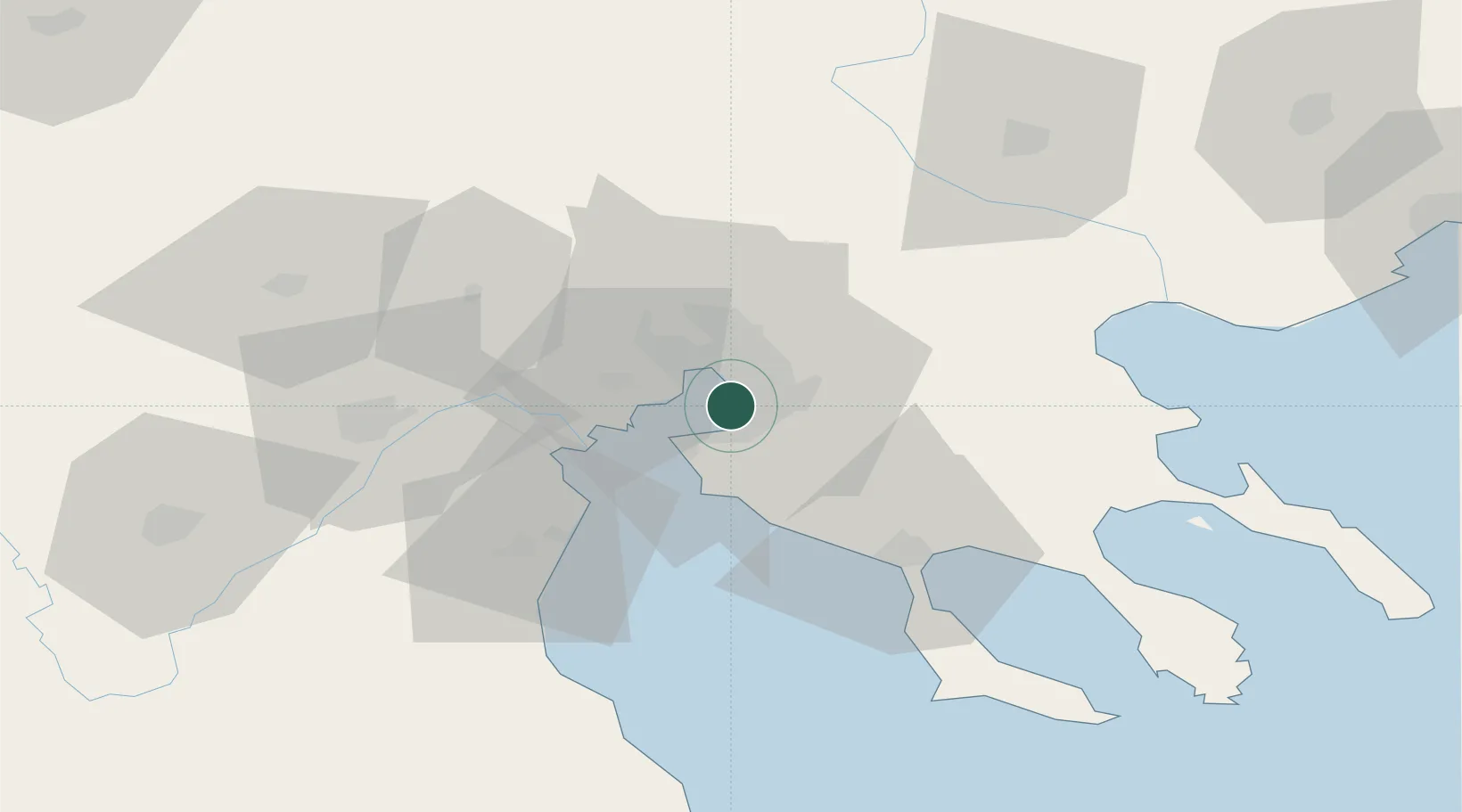
Location
Nearby Logistics Neighbours
Cities
- 1Perea9 km
- 2Thessaloníki10 km
- 3Évosmon12 km
- 4Oreokastro17 km
- 5Neokhoroúdha19 km
Ports
- 1Thessaloniki8 km
- 2Yerakini55 km
- 3Stratoni75 km
- 4Kavala129 km
- 5Volos133 km
Airports
Trade Zones
- 1Free Zone of Thessaloniki8 km
- 2TIDZ Gevgelija80 km
- 3TIDZ Strumica94 km
- 4TIDZ Radoviš125 km
- 5TIDZ Berovo127 km
DatabookThe Record of Consolidated Knowledge
Greece beyond logistics?