Transport Functions
Port
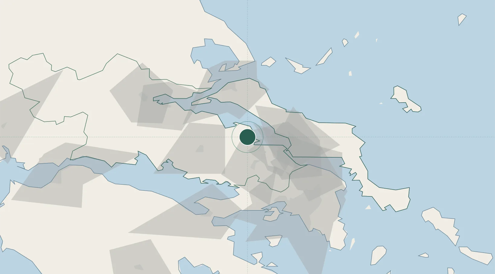
Location
Nearby Logistics Neighbours
Ports
- 1Kymassi34 km
- 2Achladi55 km
- 3Megara Oil Terminal68 km
- 4Ormos Aliveriou70 km
- 5Tsingeli77 km
Airports
Trade Zones
- 1Free Zone of Piraeus75 km
- 2Free Zone of Platigiali (Astakos Etoloakarnanias)190 km
- 3Free Zone of Thessaloniki232 km
- 4TIDZ Gevgelija300 km
- 5Përmet Freezone313 km
DatabookThe Record of Consolidated Knowledge
Greece beyond logistics?