UN/LOCODE hub · Greece
GRATA

Atalándi

38.6500°, 23.0000°
2
Transport functions

Transport Functions

Port
Road
UN/LOCODE

Hub Profile

Region
06
GeoNames

Location

Location of GRATA
Natural Earth 10m (public domain) · 06 · GRATA · 38.65, 23.00GoogleOSMYandex

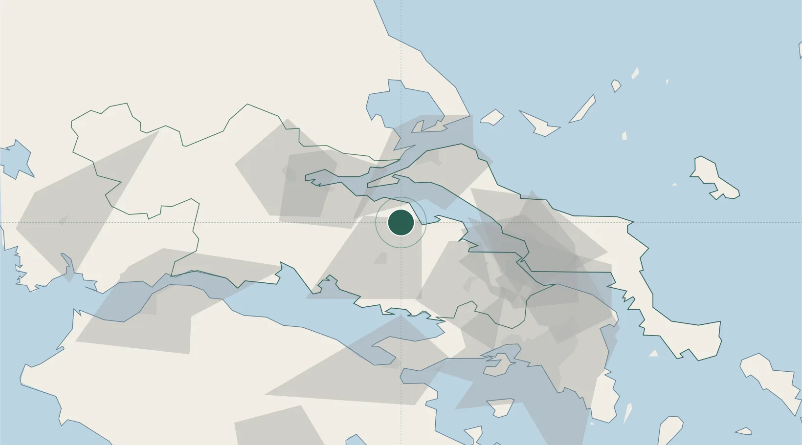
Nearby Logistics Neighbours

Cities
  1. 1Arkítsa12 km
  2. 2Agios Konstantínos16 km
  3. 3Malessina20 km
  4. 4Yaltra22 km
  5. 5Aidipsou22 km
Nearest neighbours — logibook spatial index (haversine) over the source coordinates
Ports
  1. 1Achladi32 km
  2. 2Kymassi45 km
  3. 3Itea56 km
  4. 4Tsingeli59 km
  5. 5Volos80 km
Nearest neighbours — logibook spatial index (haversine) over the source coordinates
Airports
  1. 1Tanagra Air Base60 km
  2. 2Nea Anchialos National Airport66 km
  3. 3Skiathos Island National Airport73 km
  4. 4Elefsis Air Base81 km
  5. 5Athens Eleftherios Venizelos International Airport114 km
Nearest neighbours — logibook spatial index (haversine) over the source coordinates
Trade Zones
  1. 1Free Zone of Piraeus95 km
  2. 2Free Zone of Platigiali (Astakos Etoloakarnanias)166 km
  3. 3Free Zone of Thessaloniki221 km
  4. 4TIDZ Gevgelija287 km
  5. 5Përmet Freezone288 km
Nearest neighbours — logibook spatial index (haversine) over the source coordinates
DatabookThe Record of Consolidated Knowledge
Greece beyond logistics?
Browse databook

All Sources

LocationsUN/LOCODE
UN/LOCODE — free
Portsthe NGA World Port Index
Public domain (US gov)
AirportsOurAirports
Public domain
Trade Zonesthe World Bank SEZ database
CC BY 4.0
Trade ZonesOpen Zone Map
CC BY
← Greece locations