Transport Functions
Multimodal
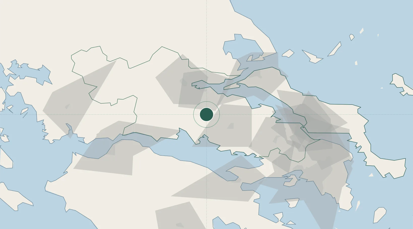
Hub Profile
Place type
Populated place
Region
Central Greece
Population
630
Time zone
Europe/Athens
Elevation
438 m
Location
Nearby Logistics Neighbours
Cities
- 1Antikyra22 km
- 2Levadhia24 km
- 3Agios Konstantínos25 km
- 4Saint Nicolas26 km
- 5Itea27 km
Airports
Trade Zones
- 1Free Zone of Piraeus109 km
- 2Free Zone of Platigiali (Astakos Etoloakarnanias)137 km
- 3Free Zone of Thessaloniki229 km
- 4Përmet Freezone271 km
- 5Gjirokastër Freezone271 km
DatabookThe Record of Consolidated Knowledge
Greece beyond logistics?